This year, the annual State of the Map US conference will take place April 12th and 13th in Washington DC. On April 14, the day right after the conference, we will be hosting a sprint day for OpenStreetMap developers and mappers.
This is a great opportunity to connect, start new projects, and get help with existing projects. For folks newer to OpenStreetMap or who just want to help out, it’s a great opportunity involved with the project and make a real difference.
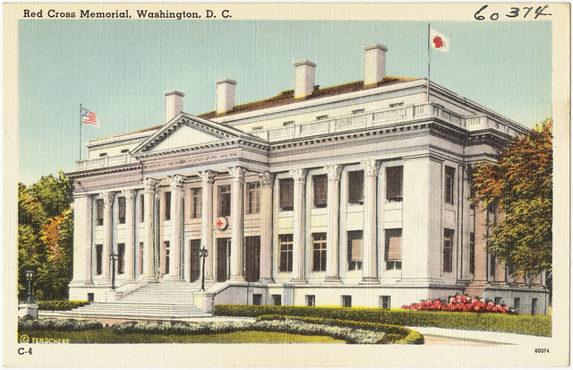
We are happy to announce that this year the sprint day will be hosted by the American Red Cross at their historic National Headquarters on 17th Street NW. We’re excited to have the American Red Cross host this event, especially after seeing them stepping up their OpenStreetMap involvement in recent years.
We’d love to have you, and there is no charge to attend. Sign up here!
##Activities
Some ideas that have been suggested so far include:
###Outdoor survey mapping
Hit the road and map the streets of DC. Brian de Rocher will hand out mapping kits, walk through how to use them to map local streets and add data to OpenStreetMap, and discuss surveying best practices and methodology.
###Aerial kite mapping
Join Public Lab for a fun, hands-on, aerial-mapping-to-OSM workshop. Explore how to fly kites with cameras, stitch aerial images into maps, and use your own high res aerial imagery for tracing into OSM using all editors. Get a jump start by installing our new Android intervelometer app and registering at Public Lab. Note: DC’s “no fly” restrictions don’t apply to kites.
If you have an idea for sprint day, send it my way at mele@openstreetmap.us. Hope to see you there!

Historic National Headquarters of the American Red Cross in Washington DC. Photo: Boston Library


