Solutions for responsible trail mapping
The OpenStreetMap US Trails Stewardship Initiative is a collaboration of government, volunteer, and private sector stakeholders working to address issues in trail mapping, outdoor recreation, and public land management.
Solving a problem
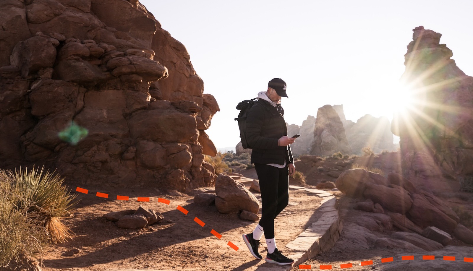
As hikers and other outdoor enthusiasts in the United States have come to rely on mobile applications to navigate our public lands, visitors can be led to dangerous or environmentally sensitive areas when these apps include unofficial and unmaintained trails. Many navigation applications pull this trail data from multiple sources and rely heavily on OpenStreetMap data.
Launched in 2021, OpenStreetMap US’s Trails Stewardship Initiative is a collaboration of government, volunteer, and private sector stakeholders working to address issues in trail mapping, outdoor recreation, and public land management. The Initiative aims to:
- Improve EQUITABLE ACCESS to trails for all citizens
- Increase SAFETY for outdoor enthusiasts on public lands
- Promote RESPONSIBLE RECREATION for the protection of our natural environment and out of respect for tribal and private lands
Utah Mapping Campaign

To address how applications use and visualize OpenStreetMap trail data, the Trails Stewardship Initiative is bringing together volunteer mappers, land managers, and app developers to improve trail data in OpenStreetMap across the state of Utah. Through these efforts, navigation apps will be able to better display OpenStreetMap trail data, improve equitable access to the outdoors and trail users’ ability to engage in responsible recreation, and protect our natural world.
Mapping trails across the country
Utah is just the start of this journey. The Trail Stewardship Initiative will improve and maintain trail data across the United States. Through collaboration with key stakeholders, we’re building:
- A THRIVING NATIONAL NETWORK of digital trail stewards to maintain open trail data in the US
- Effective TOOLS AND RESOURCES that enable land managers, agencies, community advocates, and OpenStreetMap contributors to work together on trail safety, equitable access, and responsible recreation
- A stable and collaborative PARTNER COLLECTIVE of private sector companies, government agencies, and engaged citizens to ensure the long term impact of the Initiative
More information is available on the OpenStreetMap Wiki page.
Join the conversation
Meet fellow trail enthuisasts and see how you can get involved on the OpenStreetMap US Slack in the #trails
channel.
If you would like to support efforts towards improved trail stewardship in your area, share more information with us by clicking the button below:
News and talks
See all postsOpenStreetMap US is now a 1% for the Planet Environmental Partner!
We are pleased to announce OpenStreetMap US has joined 1% for the Planet as an Environmental Partner! This partnership will advance our impact through the OpenStreetMap US Trails Stewardship Initiative by creating...
Launching the Utah Campaign: Improving 60,000+ Miles of Trails in OpenStreetMap
With the support of volunteers and land managers, the Trails Stewardship Initiative is launching our first statewide campaign aiming to update trail information on 60,000+ miles of trails in OpenStreetMap across Utah...
OpenStreetMap & Trails: New Collaborations for Responsible Recreation
This is the October 2023 entry in the quarterly webinar series from the National Trails System GIS Network. Learn about the Trails Stewardship Initiative with Maggie Cawley, Exective Director of OpenStreetMap US....
Celebrating National Public Lands Day
September 23, 2023 marks the 30th anniversary of National Public Lands Day. Organized by the National Environmental Education Foundation, National Public Lands Day seeks to connect people with their environment and encourage...
OpenStreetMap US Trails Stewardship Initiative
Hear about the work of the OSM US Trails Working Group and the plans for the Trails Stewardship Initiative. Round table will be held later in the day.
Trails Stewardship Initiative Update: Pilot & Next Steps
This blog post is an update on the OpenStreetMap US Trails Stewardship Initiative. For past news and additional information on this initiative, visit openstreetmap.us/trails. Background Public open spaces in the United States...
OpenStreetMap US Trails Initiative
Jake Low & Diane Fritz provide an update on the Trails Stewardship Initiative at the OSM US annual conference Mapping USA.
OpenStreetMap & Trails: New Collaborations for Responsible Recreation
Sparked by concerns about OpenStreetMap’s role in how the public accesses and recreates on protected lands, OpenStreetMap US volunteers, navigation app developers, national agencies and public land managers formed the OpenStreetMap US...
The Trails Working Group is conducting a pilot tagging project!
Background You may have seen an announcement in a previous blog post about the existence of the OpenStreetMap US Trails Working Group. This growing collaboration of OSM mappers, land managers and navigational...
Maggie Cawley on the Nowhere Podcast
Hear from Maggie Cawley, Executive Director of OpenStreetMap US, about her encounter with federal land managers who weren’t happy about traffic on their land and how her team developed a solution that benefitted the avid hikers and outdoor enthusiasts while protecting sensitive or conservation areas.