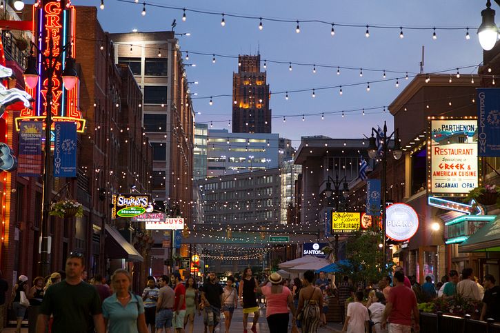
Our challenge to make Detroit the best open map in the world is off and running. The mapping tasks are ready, and the mapathon is scheduled. There are many ways to participate in the Detroit Mapping Challenge and we hope you’ll join us!
Mapping Points of Interest
Right now, the focus is on points of interest across Detroit – shops, restaurants, churches, schools and more. We’ve started with mapping projects across neighborhoods in Downtown Detroit, and created individual tasks for each city block using open parcel data. You can map from wherever you are! There is incredible open street level imagery across Detroit, from which you can examine storefronts for names and types of PoI. And there are open datasets from the City of Detroit and alltheplaces.xyz, which can now be loaded into the editor for reference via iD editor’s new vector tile support.
If you are looking for a different kind of mapping challenge, we invite you to try MapRoulette, where we have set up a number of challenges specific to Detroit. You can map missing speed limits, traffic signals or even stop signs!
Pre State of the Map US Mapathon
We are getting together at Wayne State University on September 19 to map Detroit. Whether you are experienced, or entirely new to OpenStreetMap, all are welcome to learn and map.
When: Wednesday, September 19th 6-9pm
Where:
Wayne State University, Stilgenbauer Computer Lab
State Hall, Room 223
5143 Cass Avenue, Detroit, MI 48202
Let us know you’re coming here, and contact Alex B Hill or join OSM US Slack with any questions.


