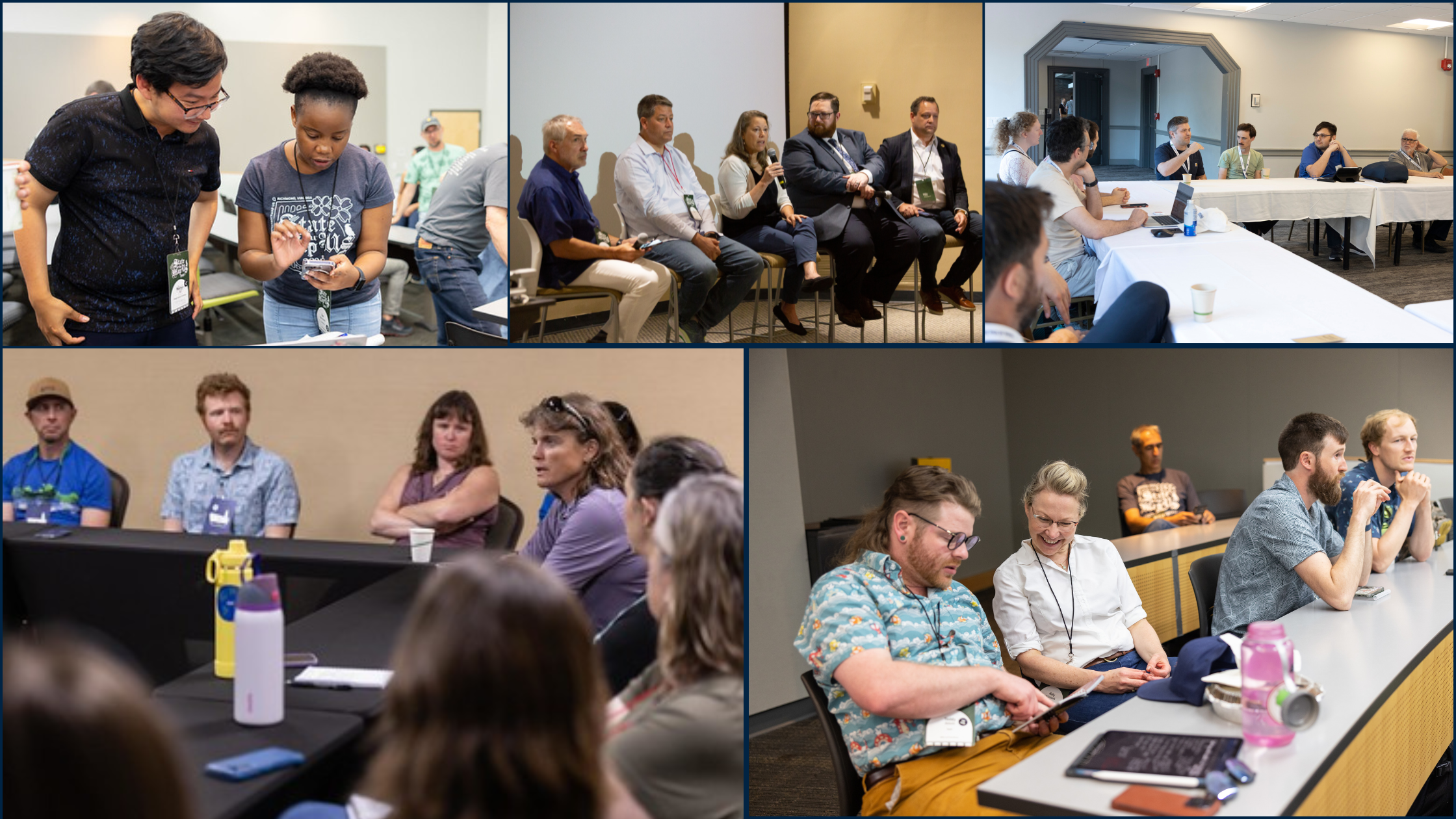
OpenStreetMap US convenes a wide range of stakeholders through Working Groups, collaborating to achieve common goals, support OSM US programs or projects, or oversee community-led initiatives.
Process
To join an OSM US Working Group, simply indicate which group you would like to join with this form (Trails Working Group participants will be prompted with additional questions). Shortly before the next meeting, you’ll be added to a Google Calendar invite for your selected group with the Zoom link included. All are welcome to join OSM US Working Groups, regardless of your experience with OpenStreetMap or your OSM US member status.
All Working Group members have access to:
- A private channel on the OSM US Slack to discuss group logistics
- A shared HackMD notepad or Google Doc for meeting notes and each month’s agenda
Additionally, the Trails, Education, and Pedestrian Working Groups send quarterly newsletters to attendees and anyone else interested in receiving updates on recent meetings, topics of discussion, and events or opportunities in the mapping community that may be of interest to Working Group members.
Current Working Groups
Governance Committee
The Governance Committee provides oversight of the OpenStreetMap US community and membership with the aim of fostering a diverse and inclusive community by creating a safe and respectful environment and organized structure for participation. The Governance Committee meets as needed.
Education Working Group
The Education Working Group is composed of volunteers who implement open mapping in educational programming within academic, vocational, and other settings. The EWG is facilitated by TeachOSM.
Meeting time: Every third Thursday of the month at 7:00pm Eastern. Quarterly newsletter: Sign up here. Email: info@teachosm.org
Government Working Group
The mission of the Government Working Group is to seek out mutually beneficial relationships between the public and open data communities. Committee members meet once per month and include representatives from DOT, USGS, FRA, FAA, NPS, Census, CDC, FEMA, FWS, ORNL, state, and local governments. The Government Working Group is open to those with .gov or .mil email addresses.
Meeting time: Every second Tuesday of the month at 4:00pm Eastern
Trails Working Group
Formed in October 2021, Trails Working Group members are leading efforts to support responsible mapping of trails on recreational land in the United States and support the larger Trails Stewardship Initiative.
Meeting time: Every fourth Monday of the month at 4:00pm Eastern. Quarterly newsletter: Sign up here. Email: trails@openstreetmap.us
Pedestrian Working Group
Formed in March 2024, the Pedestrian Working Group aims to convene diverse stakeholders with an interest in OpenStreetMap pedestrian data to find ways to collaborate and improve pedestrian accessibility across the country. The Pedestrian Working Group is currently developing a shared sidewalk mapping schema and guide, which you can view and provide feedback on their respective Wiki pages.
Meeting time: Every third Tuesday of the month at 3:00pm Eastern. Quarterly newsletter: Sign up here. Email: pedestrian@openstreetmap.us
Imagery Working Group
Started in August 2023, the Imagery Working Group brings together the remote sensing industry, tool developers, mappers, and other interested parties to investigate ways to improve imagery access in OpenStreetMap. It began when Maxar imagery was no longer directly available to OSM, as a conversation to reimagine imagery & sustainability.
Meeting time: Every eight weeks on Tuesday at 10:00am Eastern.
Maintainers Working Group
OpenStreetMap US’s newest Working Group, meant for the volunteer maintainers of projects within the OpenStreetMap ecosystem to share resources, collaborate, and learn from each other.
Meeting time: Every other month on the second Monday at 2:00pm Eastern
Collaborator Sync
The Collaborator Sync is intended for employees and representatives of private companies utilizing OpenStreetMap data to connect and provide project updates.
Meeting time: Quarterly on the second Wednesday of the month at 11:00am Eastern
Event Planning Committees
OpenStreetMap US forms event-specific committees to help plan our conferences, mainly State of the Map US, as needed.