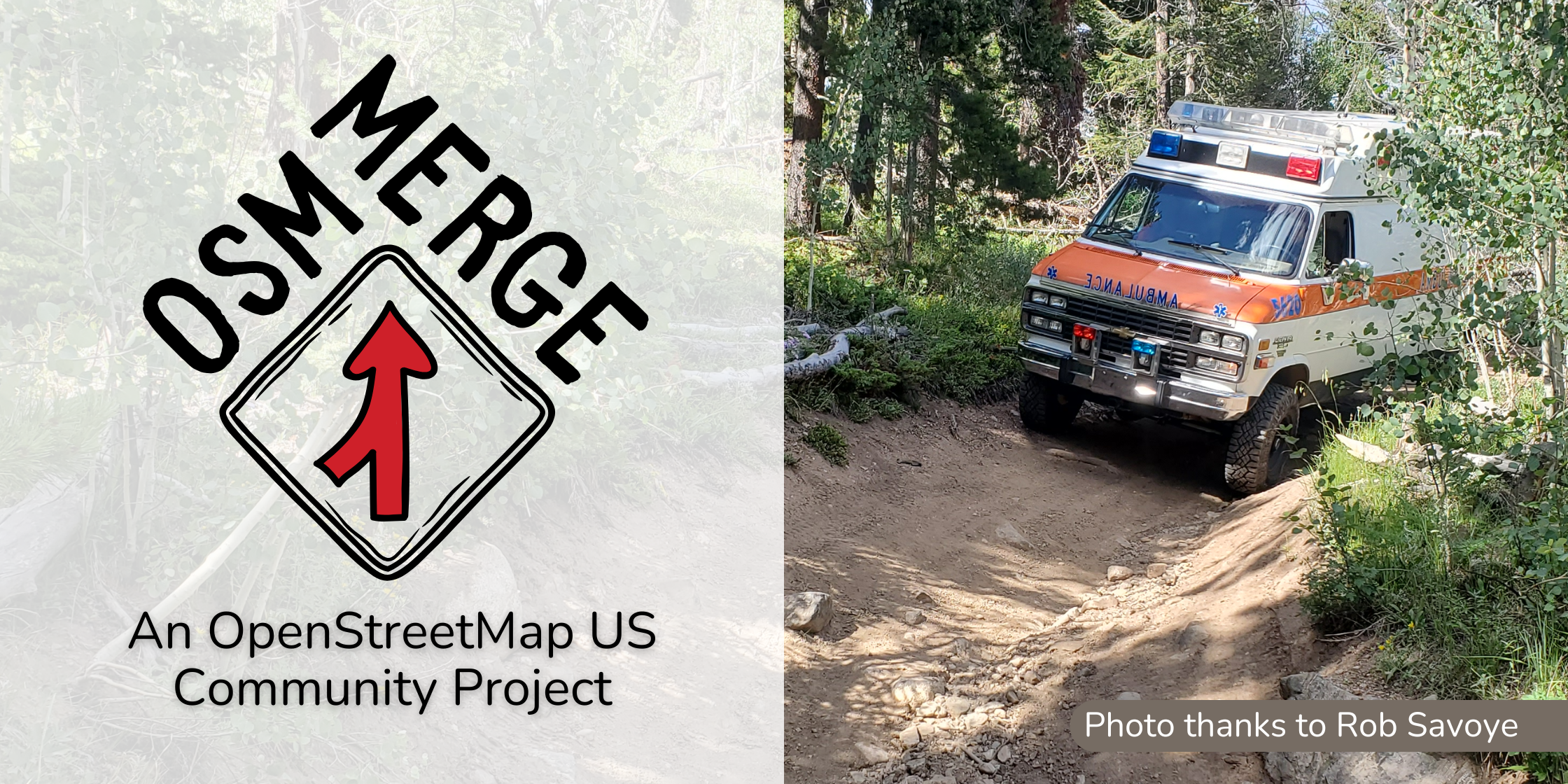
OpenStreetMap US is thrilled to welcome OSM Merge as the latest addition to our Community Project Program! Project creator Rob Savoye is a wildland firefighter and emergency response mapper with decades of experience in the field, so he knows first-hand that OSM is a critical resource for emergency responders operating in remote rural and wilderness areas. His vision for the OSM Merge project is to use data from official government sources to improve the quality of road and trail information in OSM, in order to ensure that this crucial data is available to both first responders and outdoor recreationists.
“My goal is improving the quality of remote highway data in OSM as an aid to emergency response. For larger wildland fires, many of the firefighters are from out of state. They depend on good maps since they aren’t familiar with the area. There is a mix of mobile apps used, but most all of them have OSM as an optional basemap. So improving OSM improves access and safety for firefighters.”
in Routt Ground-Truthing
What is OSM Merge?
OSM Merge is a software package designed for data conflation: the task of comparing two datasets to match up features that exist in both, and identify discrepancies between them or create a hybrid dataset with the best data from each. OSM Merge is aimed specifically at conflating rural road and trail data from various official sources (like the US Forest Service, National Park Service, as well as state and local governments) and comparing the data with OpenStreetMap. The results can be used to identify errors in OSM that should be reviewed by mappers, or to prepare imports of missing attributes onto existing OSM Features.
The goal of OSM Merge is to improve OSM’s accuracy in rural and backcountry parts of the United States. Much of the road and trail data in remote parts of the US comes from the TIGER import in 2007 and 2008, and hasn’t been reviewed or updated since. Better data sources now exist for remote areas, and OSM Merge creates a workflow where mappers can use these new data sources to efficiently review and update data in OSM. The software is ready to process data for the entire United States and works fully offline.
In addition to the software itself, OSM Merge provides pre-processed input data files on osmmerge.org to make running the software easier and to support building additional conflation workflows using the same datasets.
Trails Stewardship Initiative
For the past few years, the OpenStreetMap US Trails Stewardship Initiative has been working to develop scalable workflows to improve trail data in OSM for recreational users and emergency response teams alike. OSM Merge and the TSI share a common goal of improving OSM data quality in remote areas of the United States. We are excited to partner together to bring new tools and workflows to the mapping community and empower mappers to make OSM the best source of road and trail data in the country.
You can learn more about how Rob fits OSM Merge into his mapping workflow on his blog.
What is the Community Project Program?
OpenStreetMap US launched the Community Project Program in September to strengthen the volunteer-run projects and tech that support the vibrant and creative OpenStreetMap community.
Do you have a potential Community Project? Check out our guidelines and submit an application!
Contributing
Interested in contributing to this tool? Rob’s looking for folks willing to squash bugs and get in the weeds to improve all that OSM Merge has to offer. Check out the project’s GitHub.


