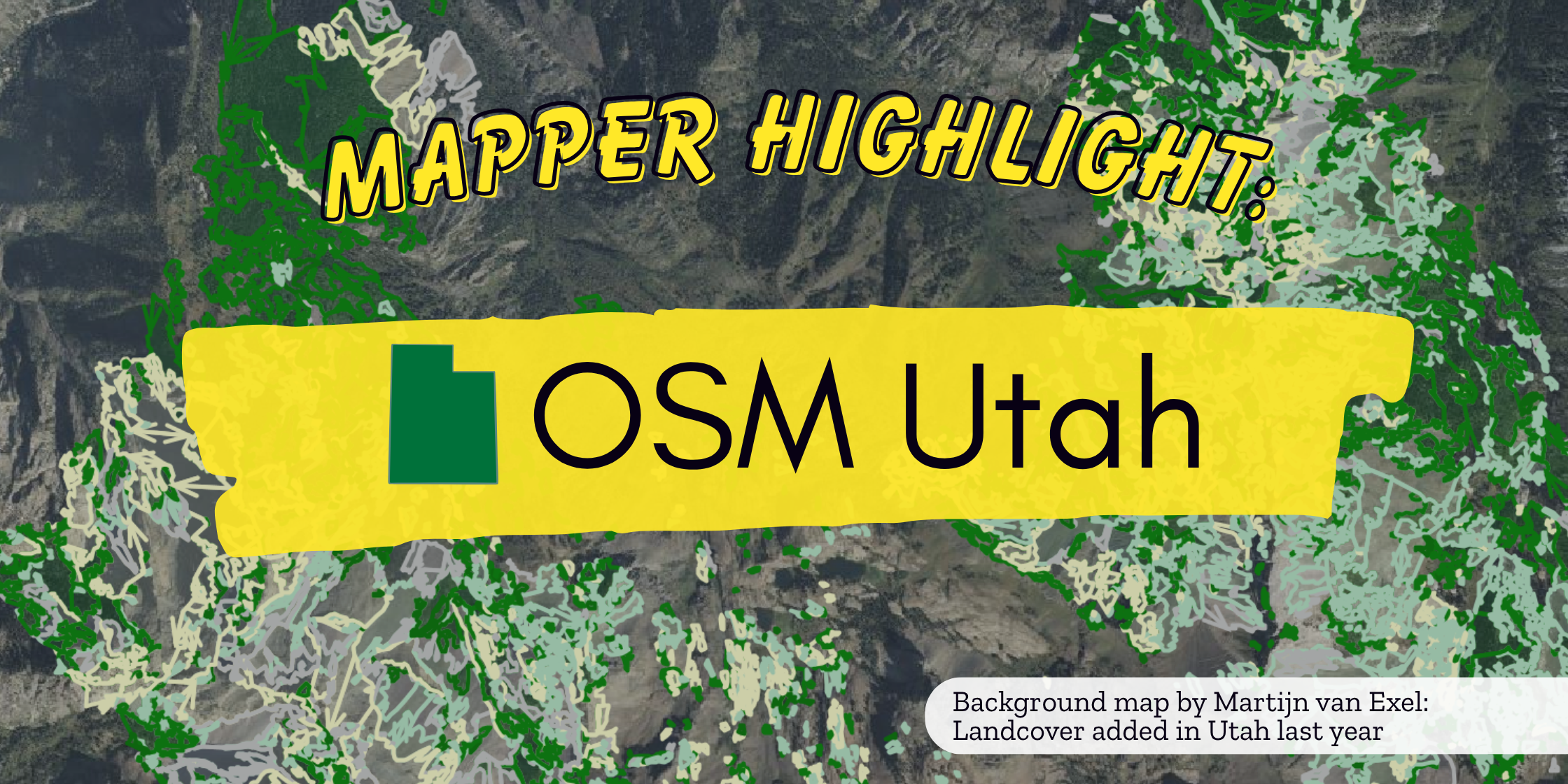
This is the second blog post in our Mapper Highlight series, celebrating the individual mappers and local groups who make up the OpenStreetMap US community. Thank you to Martijn van Exel, Jessie Pechmann, Daniel Nelson, employees at Snyderville Basin Recreation, and all of the OpenStreetMap Utah members who contributed to this post.
How did OSM Utah get started?
Martijn: “OSM Utah got started in 2011. I had just moved to [Salt Lake City] and discovered that there were a few active mappers, but no local meetups. I started hosting monthly meetups in local cafes. Usually, 1 or 2 people would show up, sometimes nobody at all. Over the next few years, we slowly built a more active community. We accomplished quite a few things beyond just creating the best map of Salt Lake City! We managed to get permission from the state GIS office to use all their data for OSM, we imported useful data like addresses and fire hydrants, we presented OSM to state lawmakers and GIS professionals, hosted workshops at the annual state GIS conference, and most recently, we created our own website.”
What does an OSM Utah meetup usually look like?
Daniel: “Our meetups are pretty low-key, but it feels good for the chance to see other mappers face to face. We like to meet up at food halls where everyone can choose what food/if they want to get food without pressure. There’s chatting about what we’ve been mapping recently, questions about what others have been mapping, and what we could improve about our own mapping. There’s also a surprising number of people who discover us organically through different online channels and come to the meetup to learn about what OSM is (we’ve had at least one new person for the last 5 meetups in a row!).”
Jessie: “OSM Utah meetups are usually really casual. People map, ask each other questions (I usually ask the most questions), and talk about changes to the map in Utah and how to reflect them… I’d highly encourage people to have a shared space to chat and/or meet in person! Sometimes being the first person to ask a question is the easiest and best thing to do. We also have some people who come who are not heavy OSM mappers and are just interested in learning about OSM and don’t map, and that’s okay too!”
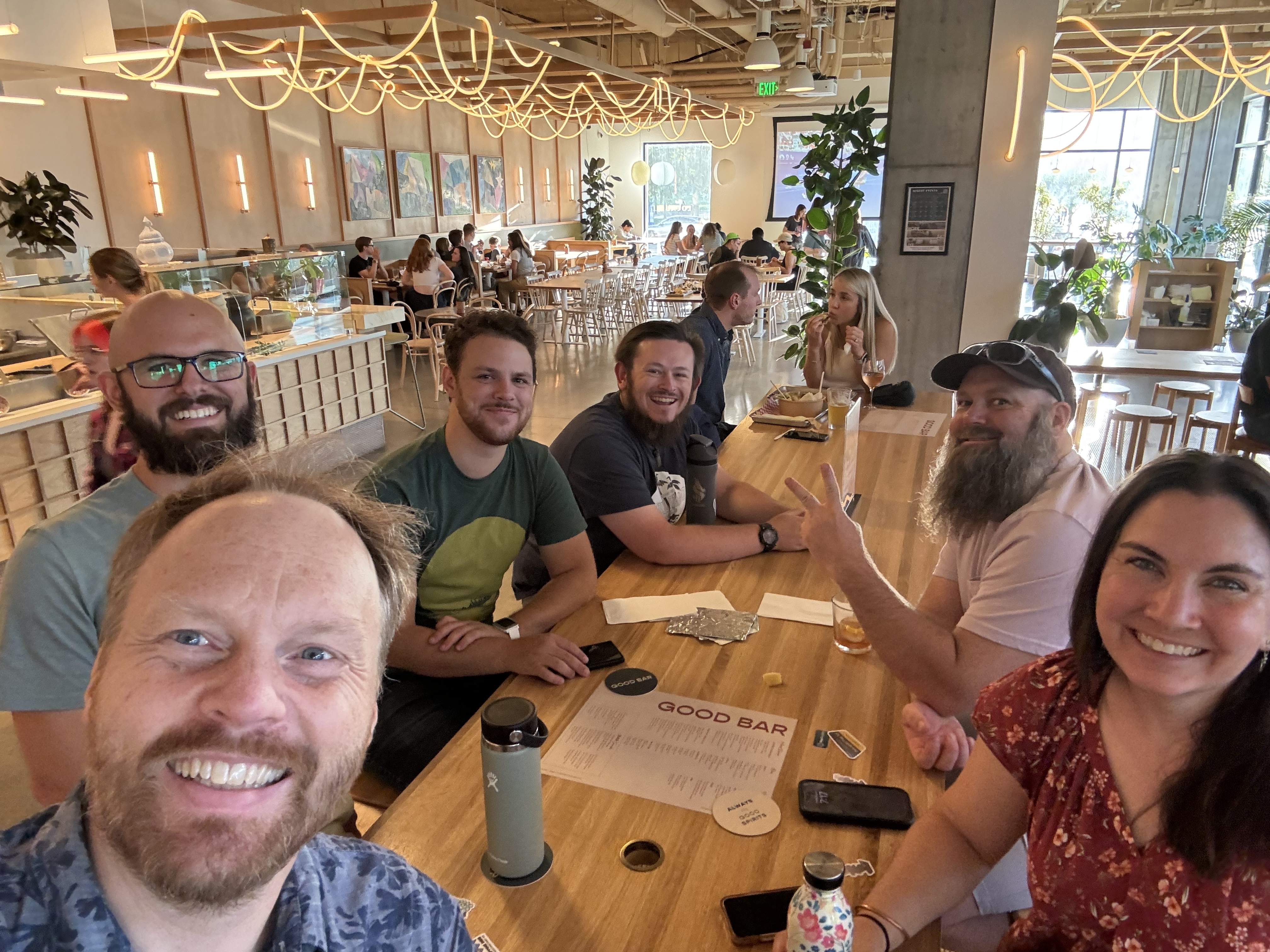
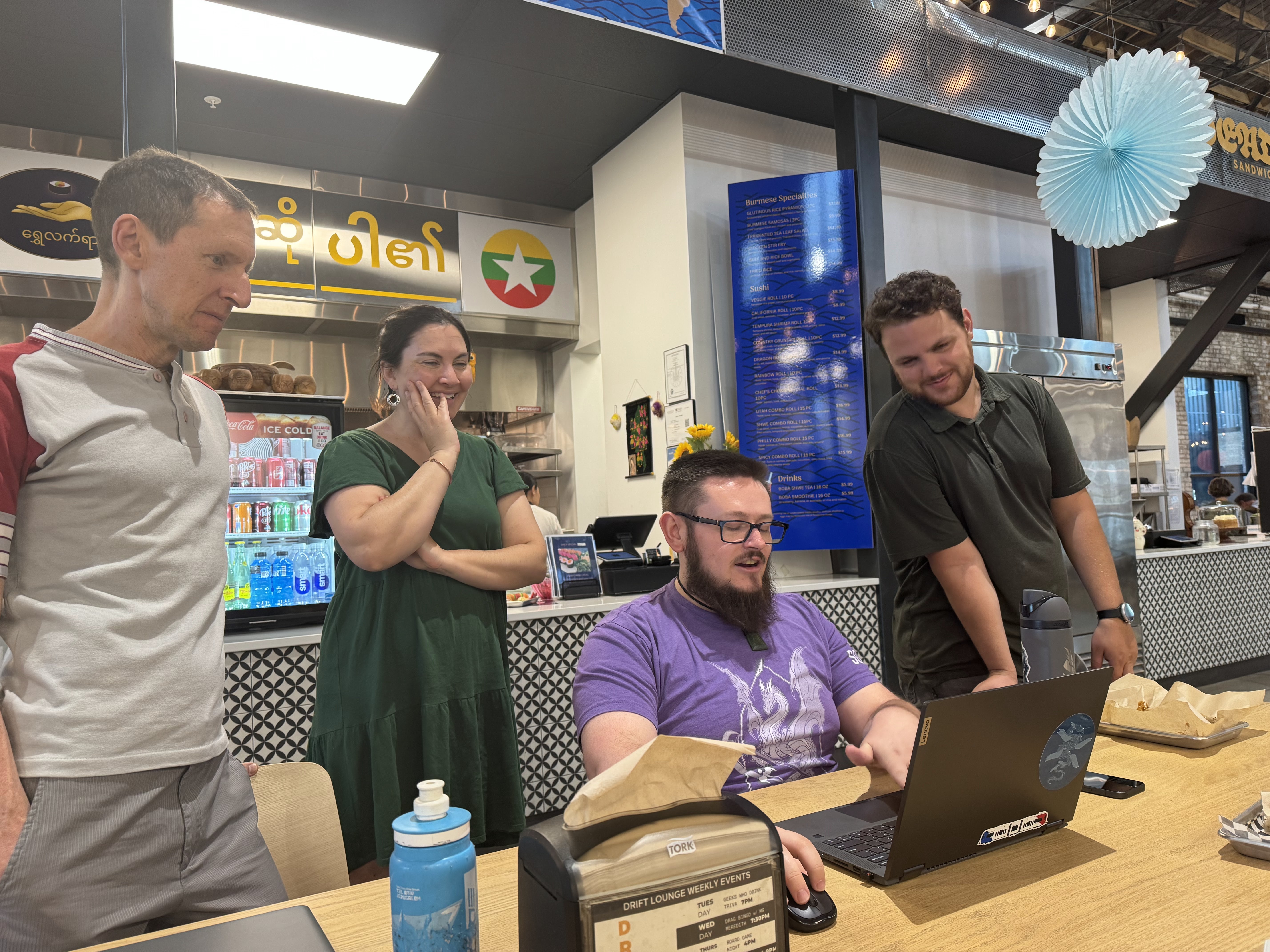
Previous OSM Utah meetups
Are there any local projects OSM Utah is helping to address with OpenStreetMap?
Earlier this year, a representative from Snyderville Basin Recreation reached out to OSM Utah on the #local-utah channel of the OSM US Slack looking for advice on a possible import of new trail geometry and revised tags in the area. Through discussions on Slack and in an OSM Utah in-person meetup, the group helped the Basin Rec employees update the trails with some dedicated mapping time, showing them around OSM and explaining how integrating data from other sources works:
Aleya: “I work in the Trails and Open Space department at Basin Recreation… We started our project on OSM when we noticed that some of the trails we manage were misrepresented on the Park City Trails map. Social trails were marked as official, rerouted trails were not up to date, and even the names of some were incorrect. We knew that Park City uses OpenStreetMap as their basemap and wondered if we could edit our trails to better reflect how they are today. Our team had no previous experience with OSM so it was a big learning curve. After speaking with an OSM US board member, reading many wiki pages, as well as reaching out to the OSM community, we had a better grasp on how to use our data and knowledge of the area to start implementing the edits we wanted in OSM. We also discovered the local Utah chapter who host monthly meetups where our team was able to meet some folks who helped with our edits and saw our project start. They were a great group of people who were super helpful and made us feel a lot more comfortable with reaching our goals in OSM! We have completed most of our main edits and now hope to keep our trails up to date with OSM when we are in our off season.
A really cool outcome from this project is that not only were we able to successfully edit our trails on OSM, this also helped us improve our trail system on the ground. With the help of OSM mappers we were made aware of a trail that had such little use it was nearly impossible to see from aerial imagery. Because of this, our trails crew went out with volunteers on National Trails Day to rework it and make it accessible again! Trails are a huge part of life here in Utah and as land managers and naturalists we believe proper mapping is a necessary step to ensure sustainable trail use, protecting vegetation and wildlife habitat, while also keeping outdoors accessible for everyone.”
What are some other mapping projects going on in the state?
Daniel: “For myself, I recently finished a massive project of reviewing every road in Salt Lake County that still had a tiger:reviewed=no tag, which by the time I finished involved touching over 11k ways by one query. Every single road involved I made sure to align to the latest imagery and updated its name tags… Check out our wiki page on the topic of our streets for more. I’m still working on gathering information on formally proposing these tags to see where else they could be useful… Depending on the day and how much motivation I had, I also would add lanes, turn:lanes, surface, maxspeed, or traffic_calming=* details. I also have spent a good chunk of time working on bus routes for our local transit agency, UTA. According to their data, they now have 84 routes and 5k+ stops, so that’s an ongoing effort to get the routes to the highest detail with every stop.
Other notable local mappers [in OSM Utah] include:
-
HashFerret, who… started importing addresses from the National Address Database… and filling in building outlines along the way, really helping with how complete the map looks.
-
There’s also troysalt, [a board member at Sweet Streets SLC, an advocacy group for safe, inclusive transportation and people-first public spaces] whose efforts are focused on biking infrastructure, sidewalks, and curb ramp accessibility. He was the one who made it first to mapping Salt Lake City’s newest bike lanes along 200 South, which sport our first islands for bus boarding on the other side of the bike lane.
-
Aweech… has been doing a lot of surveying recently, especially at Daybreak’s newly opened baseball field for the Salt Lake Bees team, and all the new infrastructure (including a light rail station) that are going up around it”
Learn more about OSM Utah
If you’d like to learn more about the people behind OSM Utah and all of the wonderful work they are doing across the state, check out their website (notably, their 2024 Year in Review), and join the conversation on the #local-utah channel of the OSM US Slack! If you’re in the Salt Lake City area, their next Map Night is August 5th.
“I joined OSM Utah because I got a remote job that uses OSM a lot (I work at Humanitarian OpenStreetMap Team). I learn better in person and wanted to feel connected to the greater OSM community so I started going.” {::nomarkdown}
</cite> </blockquote> {:/nomarkdown}
Do you know a mapper or mapping group worthy of a highlight? Reach out to newsletter@openstreetmap.us.