Get the lay of the land on OpenStreetMap's trail data
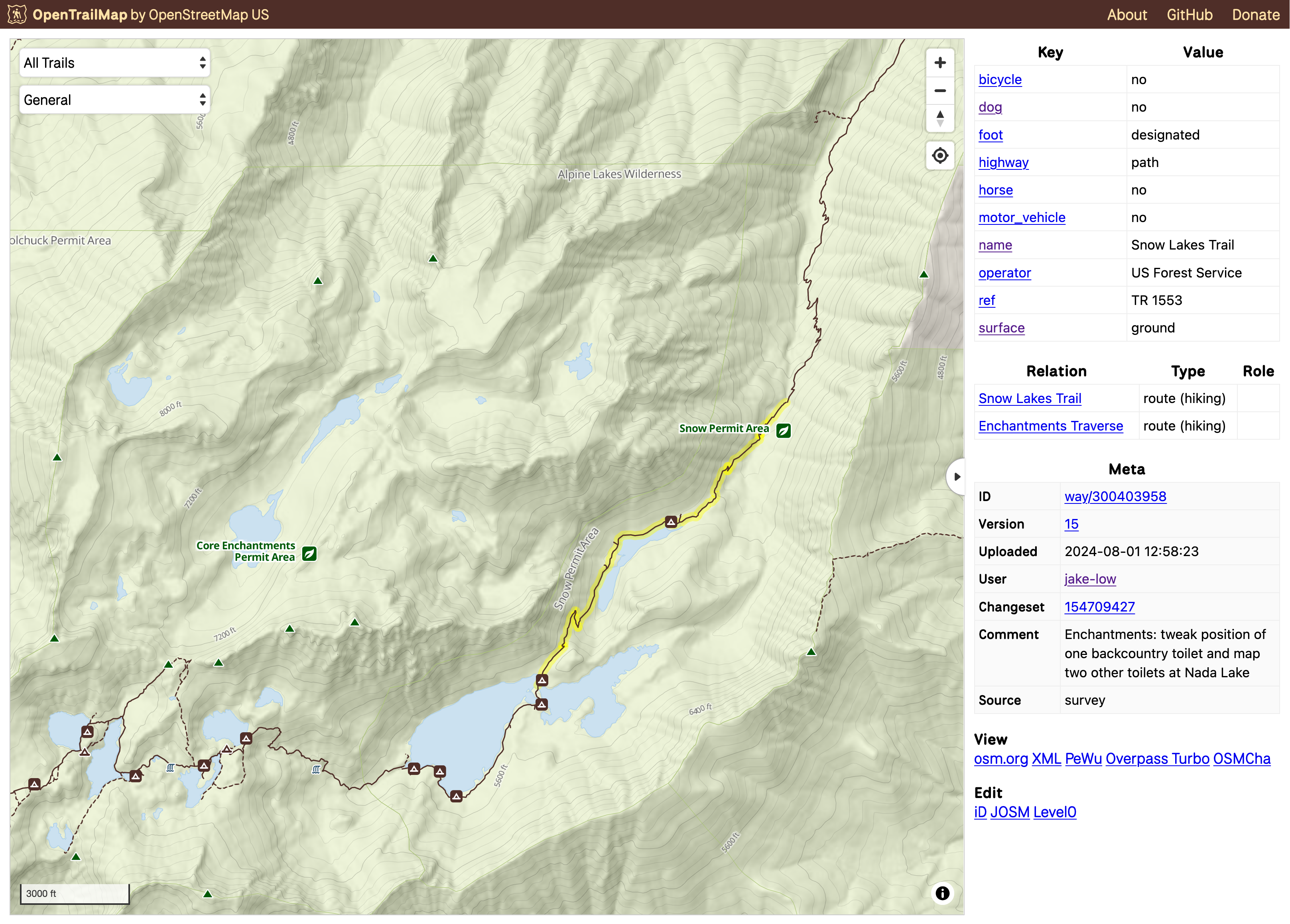
OpenTrailMap shows all the trails and related outdoor recreation features in OpenStreetMap. Its goal is to help land managers and trail ambassadors understand how their local trails are mapped in OSM, and serve as a quality assurance and feedback tool for the trail mapping community.
OpenTrailMap is a prototype web map application for viewing OpenStreetMap (OSM) trail data. The tool is being developed in support of our Trails Stewardship Initiative, a collaborative effort to improve the quality of trail data in OSM.
OpenTrailMap displays all land trails, snow trails, and water trails present in OpenStreetMap, and lets users filter them by type or colorize them based on which attributes are present. This gives land managers and trail mappers an overview of the state of OSM trail data in their area, helping them to spot mistakes or missing data.
This tool is still in early development, and we are looking for funding partners to support its growth. Our goal is for OpenTrailMap to become a primary tool for visualizing, updating, validating, and maintaining OpenStreetMap trail data in the United States. The app will close the feedback loop between trail users, trail managers, and trail mappers. If you or your organization are interested in supporting this tool, please contact us or consider donating.