Venues
Boston University
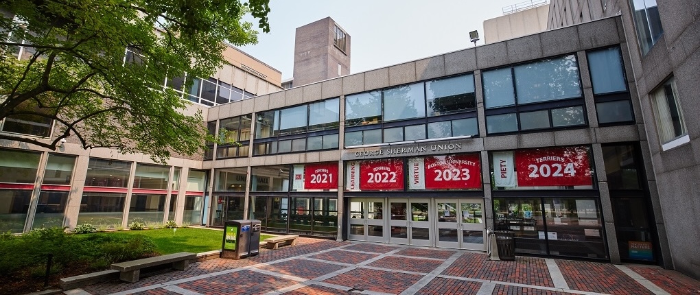
Friday and Saturday conference activities will take place at the George Sherman Union at Boston University in Boston, Massachusetts. The Boston University Central stop on the Green Line is convenient to the venue and is wheelchair accessible.
775 Commonwealth Avenue
Boston, MA 02215
Get Directions
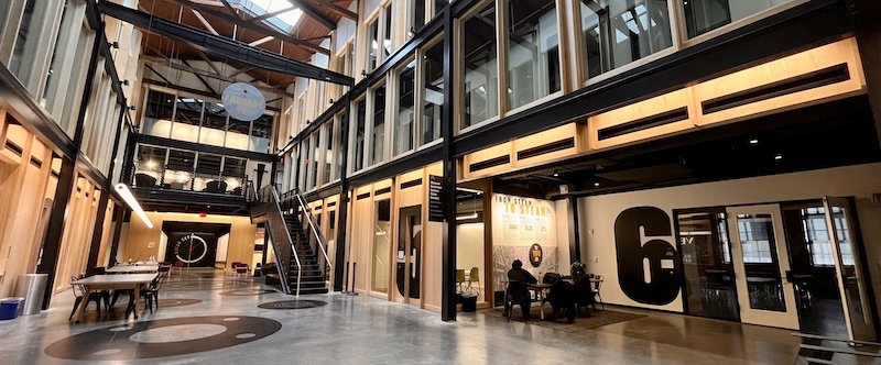
The Foundry
On Thursday, workshops and the welcome social will take place at The Foundry, a makerspace in Cambridge about 2.5 miles from Boston University. It is accessible from the CT2 bus as well as the Kendall/MIT stop on the Red Line.
101 Rogers Street
Cambridge, MA 02142
Get Directions
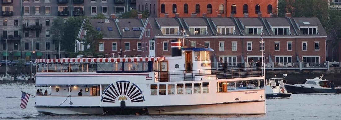
The Lexington
The Sunset Networking Cruise is exclusive to conference sponsors and add-on ticketholders. To join the cruise, become a sponsor or select this option when registering.
On Friday, the Sunset Networking Cruise in Boston Harbor will take place from 7–9 PM aboard The Lexington, which docks at Rowes Wharf.
From the George Sherman Union, the journey is about 20 minutes via taxi or 45 minutes via transit. If driving, the Rowes Wharf Garage is nearby and can be reserved. Be sure to leave yourself plenty of transport time, as the yacht will depart promptly at 7 PM.
When arriving at the wharf, head under the large arch next to the Boston Harbor Hotel and turn right. The Lexington will be the paddle wheeler in the farthest dock to the right, Gate C.
70 Rowes Wharf (Gate C)
Boston, MA 02110
Get Directions
Lodging
OpenStreetMap US has arranged group rates for conference attendees at both the Hyatt Regency Cambridge and the Boston University Dorms. Availability is limited, so please book early.
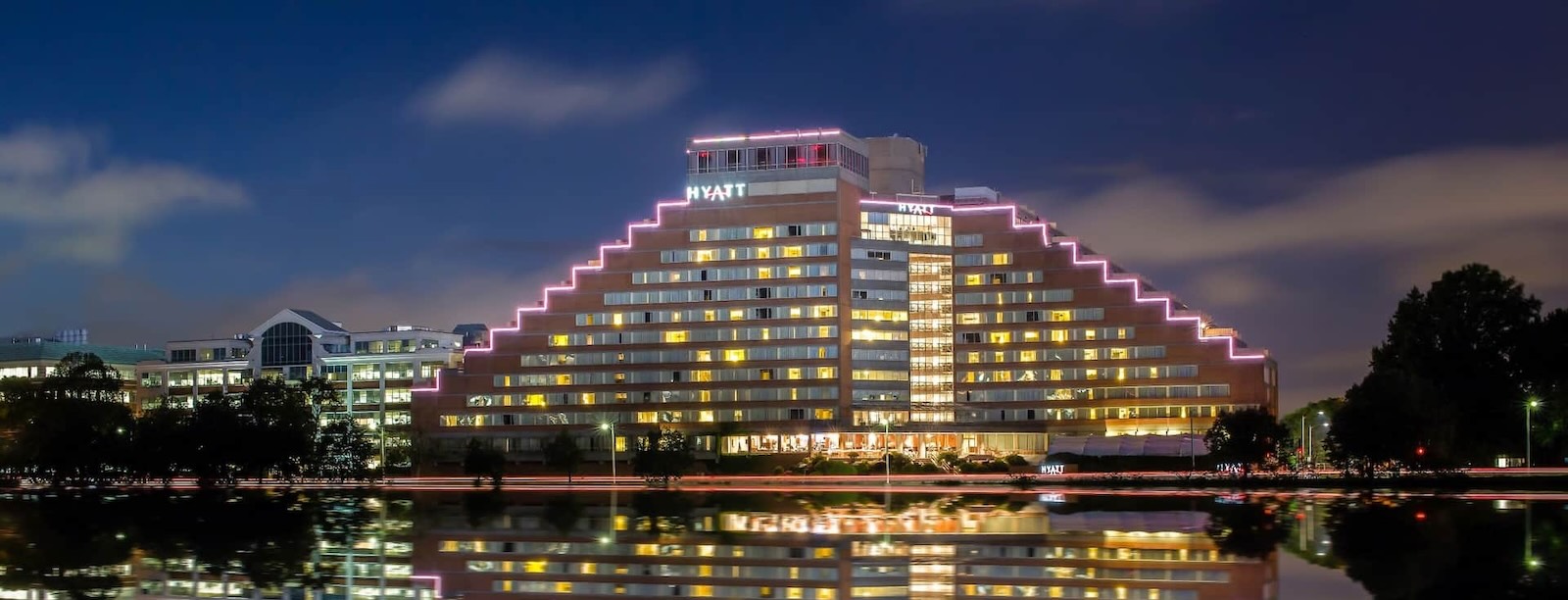
Hyatt Regency Cambridge
Walking distance to Boston University, the Hyatt Regency Cambridge is a four-star hotel offering a fitness center and dog-friendly rooms. State of the Map US attendees enjoy a discounted group rate. Browse rooms ➔
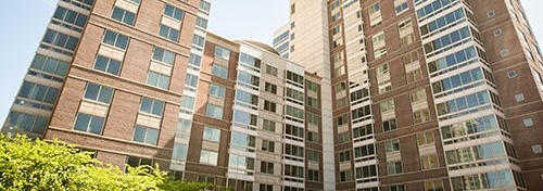
Boston University Dorms
An affordable yet modern option is the Boston University Dormitories at 10 Buick Street. The dorms offer comfortable, apartment-style accommodations with private bedrooms, shared bathrooms, and central air conditioning. Reserve now ➔
Getting to Boston
This information is for general reference only. Attendees are responsible for their own transport and the conference team cannot provide travel assistance.
By Air
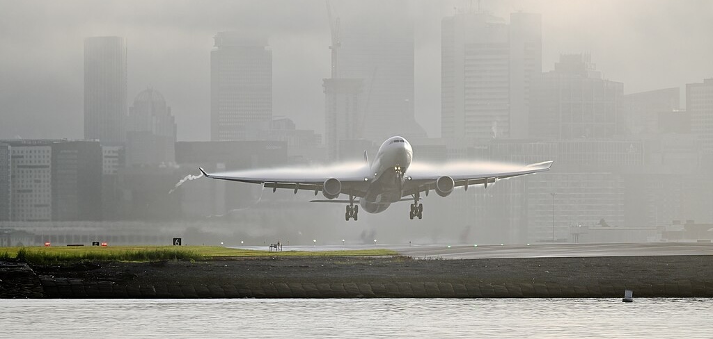
Boston Logan International Airport (BOS) is the primary airport for New England. It has direct service to around 150 destinations including cities in Europe, Asia, South America, and the Middle East. Flying is typically the fastest and most convenient option unless you live along the Northeast Corridor.
The airport is served by the MBTA Silver Line, Blue Line, and Ferry, and is about 45 minutes on transit from the conference venue. A taxi ride may take as little as 15 minutes outside rush hour.
By Rail
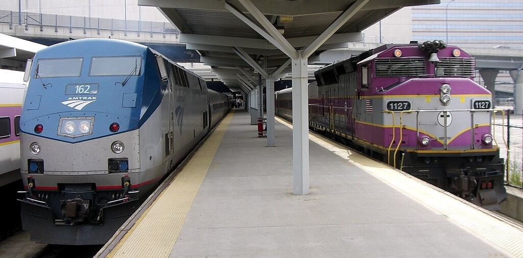
Amtrak offers frequent rail service to three stations in Boston. The Acela, Northeast Regional, and Lake Shore Limited trains serve South Station (BOS) in downtown Boston as well as Back Bay Station (BBY), which is closer to the conference venue. The Downeaster serves North Station (BON).
Amtrak travel times are about 4 hours from New York, 7 hours from Washington, 12 hours from Buffalo, and 22 hours from Chicago. Intercity rail is a low-carbon option which is sometimes faster than flying and is often competitive with driving. You can bring a bicycle or pet onboard.
Additionally, MBTA runs an extensive Commuter Rail network convenient for those traveling from Greater Boston.
By Road
Boston is located at the intersection of I-90 and I-95, and of US 20 and US 1. The drive is about 5 hours from Montreal, 8 hours from Washington, 9 hours from Pittsburgh, and 15 hours from Chicago. If driving, be sure to allow yourself extra time to account for Boston traffic.
By Trail
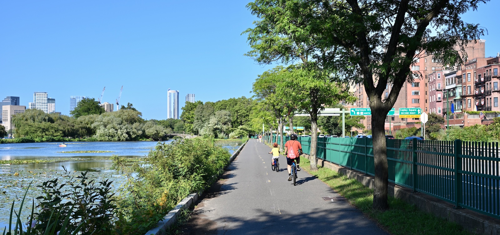
The main intercity cycling and walking artery through Boston is the East Coast Greenway, which runs from Florida to Maine. While the route primarily follows trails, it still has long on-road segments that are better-suited to bike touring than backpacking. Boston has a large number of hiking trails but is not directly connected to a long-distance off-road trail.
By Sea
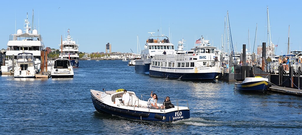
Boston is a maritime city with access to the Atlantic Ocean. There are ample facilities to dock your motorboat, sailboat, or sea kayak in Boston Harbor. Cruise ships berth at Flynn Cruiseport. Regional ferries sail from as far as Provincetown and Salem, Massachusetts.
Getting Around
Transit
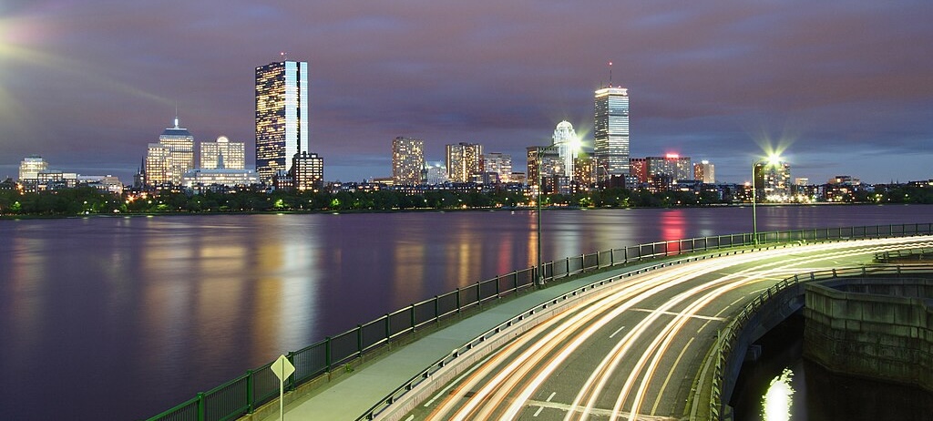
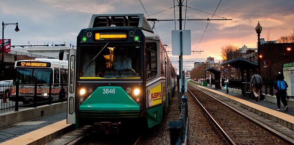
Boston boasts an extensive public transit network, known locally as “The T”, operated by MBTA. The MBTA subway, trolley, and bus lines are a convenient and inexpensive transportation option for conference attendees, providing service between the airport, Amtrak stations, conference venue, social events, and Downtown Boston.
The five MBTA rapid transit lines—Red, Orange, Green, Blue, and Silver—depart every 4 to 12 minutes from 5 AM to 12:30 AM.
MBTA fares are $2.40 and can be paid via contactless payment, or with a CharlieCard or CharlieTicket purchased at a station. For more information, see the Beginner’s Guide to the Subway.
Biking
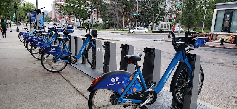
Bluebikes is Metro Boston’s bikeshare system, providing affordable bike and e-bike rentals. The Bluebikes network consists of over 500 stations throughout the city. Single trip and day passes are available using the Bluebikes app or a station kiosk. All conference venues and lodging options are close to Bluebikes stations.
If bringing your own bike and lock, these are ample racks to park your bike at the George Sherman Union. For information on bike lanes, taking your bike on transit, and other cycling tips, see this City of Boston website.
Driving and Parking
While driving is common in Boston, the city is said to have the fourth-worst traffic in the United States. Drivers can expect to pay for parking in garages or search for street parking. Pay attention to signed parking regulations.
Boston University offers three onsite parking facilities open to conference attendees. Payment is through PayByPhone.
The State of the Map US conference is not affiliated with Boston University. The use of Boston University facilities does not constitute or imply the endorsement or support of Boston University.


