Today the State Department launched its official “Imagery to the Crowd” web site . This solidifies the State Department’s established practice of providing aerial imagery to the Humanitarian OpenStreetMap Team (HOT) for fast sourcing of geo data in emergencies. In a crisis situation, State Department’s Humanitarian Information Unit provides imagery and HOT in turn channels OpenStreetMap volunteers to digitize at rates that surpass the bandwidth of official agencies.
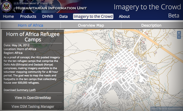 State Department’s Humanitarian Information Unit offers aerial imagery for tracing to OpenStreetMap to expedite geo data sourcing in emergencies.
Earlier this week Mikel Maron and I had the opportunity to lead an OpenStreetMap workshop at the U.S. Census Bureau . We gave an overview of OpenStreetMap’s key functionalities, showed examples of OpenStreetMap applications, and helped their team get started editing.
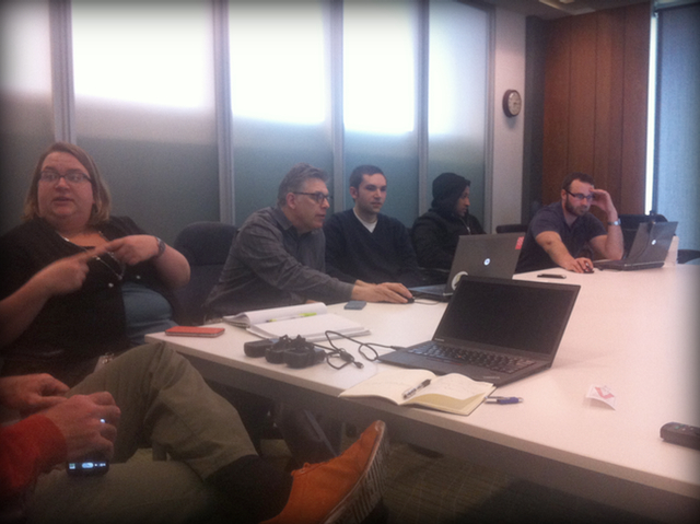 OpenStreetMap workshop at the U.S. Census Bureau in Suitland, Maryland
The State Department’s move and the Census Bureau’s mapping workshop are just two in a series of events that highlight a growing interest by government in OpenStreetMap. The free availability of OpenStreetMap data and software and the continued maturing of OpenStreetMap , together with steep budget cuts in federal and local governments, make OpenStreetMap a more attractive option for the public sector than ever before.
This is a particularly exciting development with a player like the Census whose TIGER dataset builds the foundation for OpenStreetMap in the United States . By way of the public domain license of its TIGER data, the U.S. Census Bureau indirectly contributes to OpenStreetMap, but there are examples of active uses of OpenStreetMap too. For instance, the National Park Service recently began mapping national parks directly in OpenStreetMap :
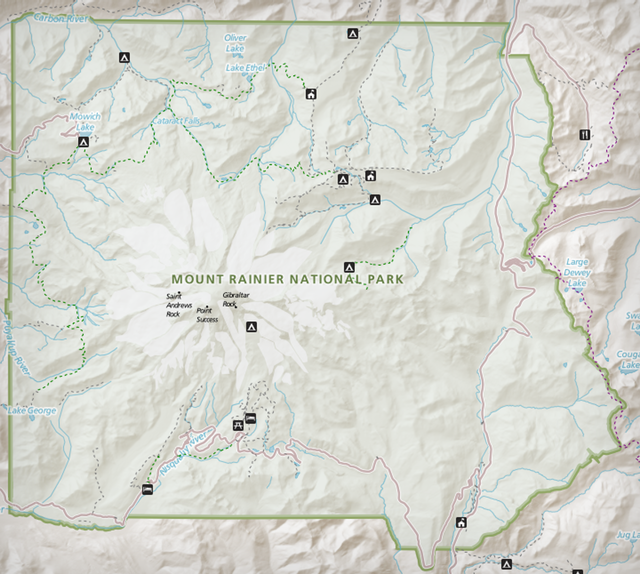 Mount Rainier mapped by the National Park Service in OpenStreetMap
Another example would be Portland’s TriMet traffic authority, which uses OpenStreetMap to power their multimodal traffic planner
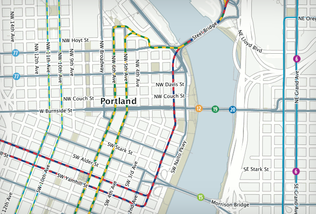 Screenshot of the
TriMet Trip Planner
Screenshot of the
TriMet Trip Planner
Cleveland Metroparks not only manages park information in OpenStreetMap, but also runs their own OpenStreetMap like tile server for rendering out a map of their parks.
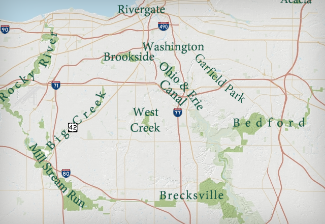 Cleveland Metropark Map, based on
OpenStreetMap
.
Cleveland Metropark Map, based on
OpenStreetMap
.
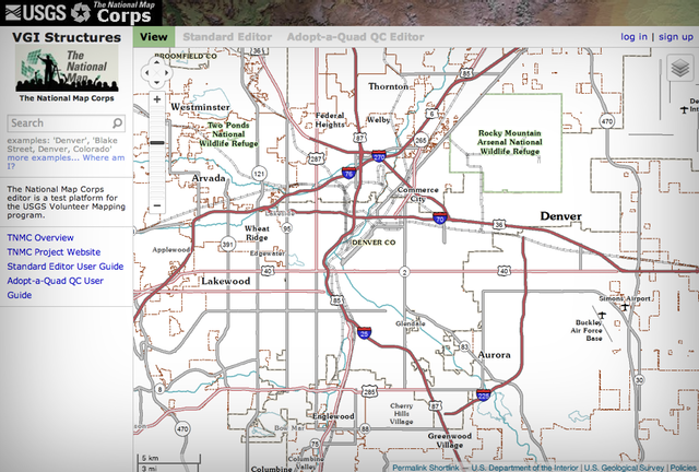
The United States Geological Survey uses a full copy of OpenStreetMap.org (meaning they don’t use any OpenStreetMap data, but they use a copy of the OpenStreetMap.org infrastructure) to allow volunteers to map structures such as schools, hospitals, and police stations. This is possible as not only is OpenStreetMap’s data openly licensed, but the code base that runs OpenStreetMap.org – the storage API, the website, editors, tile servers, and map styles – is all open source.
The San Luis Obispo County fire department uses OpenStreetMap to keep an inventory of buildings and other relevant structures particularly to aid in wildland fire prevention and fire suppression. One use case is an incident map tracking fire incidents over time.
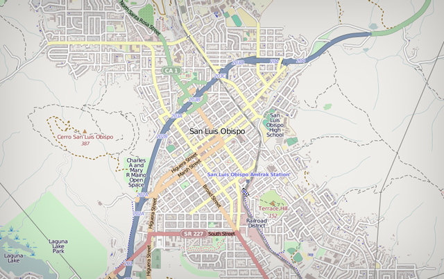 San Luis Obispo on OpenStreetMap. Most building footprints where entered by Fire Department. These are not just improvements to the base map but they can also be
exported
at any time for more advanced use cases.
San Luis Obispo on OpenStreetMap. Most building footprints where entered by Fire Department. These are not just improvements to the base map but they can also be
exported
at any time for more advanced use cases.
If you’re in government and interested in OpenStreetMap, get in touch with us – we’re happy to connect you with the individuals behind any of the examples we’ve listed here or help you get started with OpenStreetMap.
A great opportunity to learn more about OpenStreetMap is at this year’s State of the Map US conference where OpenStreetMap’s use in government will be a key focus. We’d love to see you there!