Governments value OpenStreetMap data, no doubt. It is the base map data in times of crisis, like the West Africa Ebola response; and everyday location services, like NPMap. As governments deepen their experience with OpenStreetMap, the culture of open community data and open source seeps into work practice. This is leading to transformed relationships between institutions and the public, and within institutions - all while creating the best map in the entire world.
Over the first six months of my Presidential Innovation Fellowship, I’ve discovered and rediscovered nodes of incredible mappers in the federal government. The Peace Corps Mappy Hours with returned volunteers. The USGS National Map, making use of OpenStreetMap infrastructure. Fantastic work across USAID. The incredible cartography and flexible data approach of NPMap. Experiments with OpenStreetMap and imagery processing at NASA. My own focus at State Department with MapGive.
What’s promising goes beyond this laundry list of cool OpenStreetMap work in government (do checkout the UCL/World Bank research on crowdsourcing and government and Alex Barth’s post to dive into more detail). New opportunities arise when we collaborate together in all aspects of our work, just like we map together in OpenStreetMap. For instance, last year, a group of agencies pooled resources and guidance to redevelop the HOT tasking manager, which has performed amazingly through an intensive year of mapping.
This year we “OpenStreetMap Institutions” (from State Department, USAID, Peace Corps, American Red Cross, and World Bank) have started gathering regularly, talking about common needs, and “not just talking”. We’ve been collaborating on guides for mapping new places, with great design. We’ve shared expertise and ideas to develop mapping projects, imagery services and co-organized events like the upcoming MapOff. We’re pooling our best case studies and strategic communications, like the Open Cities Guide to make the case for OpenStreetMap across government.
We’ll certainly build momentum towards the upcoming HOT Summit in our geographic nexus of DC, but we want to expand this kind of lightweight, hands-on partnership to Geneva, Monrovia, London, and Manila. For this, we look forward to the State of the Map US conference, the largest OpenStreetMap conference ever, and held on the global stage of the UN General Assembly, in New York City. Not only is New York City demonstrating the best of local government working with OpenStreetMap, but the UN invites governments from around the world to absorb and adopt open community culture.
If you’re interested in OpenStreetMap for government, I’d like to talk. If you have your own story to share, note that the call for session proposals for State of the Map US is still open until Sunday and HOT Summit is open until Monday.
Mikel Maron is Presidential Innovation Fellow working on OpenStreetMap for Diplomacy at the US State Department.
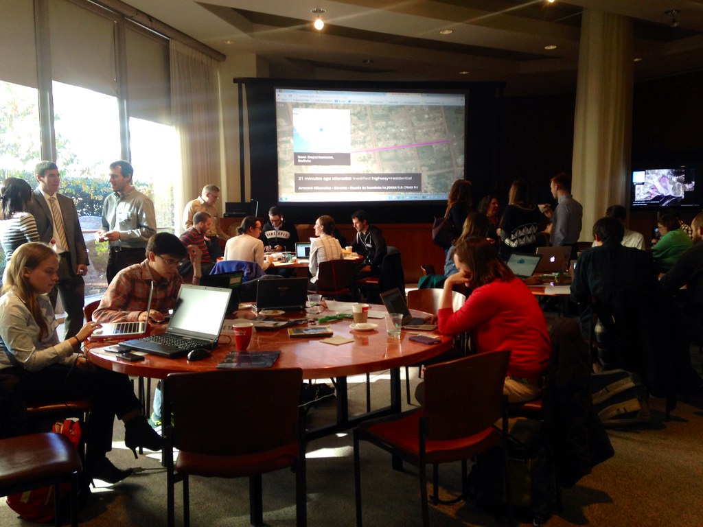
Photo: MapGive