
OpenStreetMap US offers grants to help local organizers host OpenStreetMap mapping events. Clifford reached out to us and asked about funding this mapathon in Vancouver and we were happy to help out. If you’re interested in hosting a mapping party like Clifford, please let us know by emailing board@openstreetmap.us! – Ian
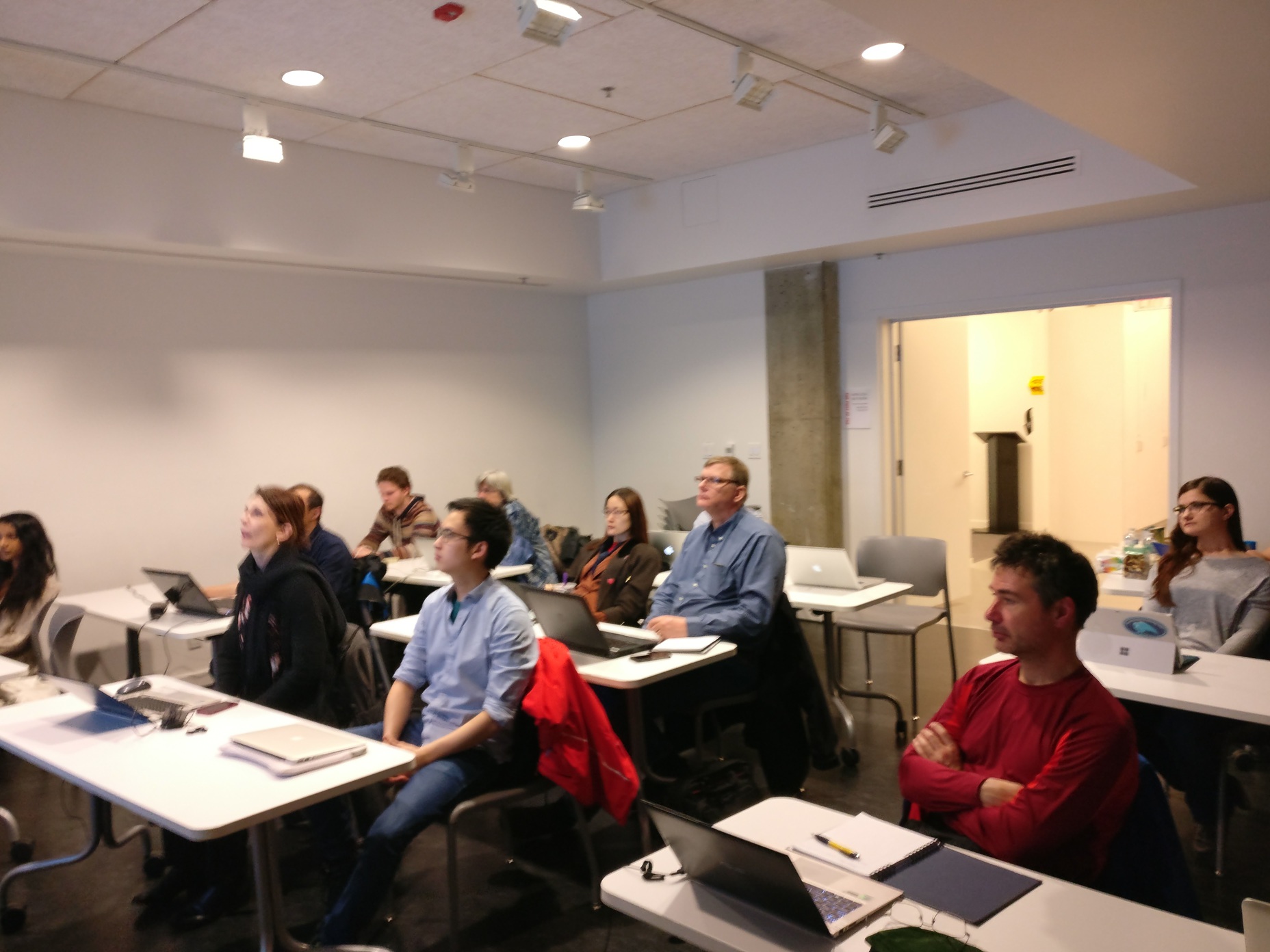
The OpenStreetMap Vancouver Meetup held its first Missing Maps Mapathon with 17 participants. The event was lead by Peter Chin with assistance from Paul Norman and Clifford Snow. Even with the cold and rainy night, we had a great turnout. The first goal of the event was to introduce event participants to humanitarian mapping using OpenStreetMap and Missing Maps. The second goal was to increase awareness of OpenStreetMap to help grow the community.

Free meeting space is hard to come by. Fortunately, The Post was able to accomadate us with reasonable rates.

Maptime Vancouver and a few other organizations helped to announce the event. We had a diverse group attending the mapathon, including students from the the University of British Columbia, volunteers from the Canadian Red Cross, and local professionals and geographers.
We had many participants who were new to OSM, so they started using the iD editor by doing an introductory exercise. Next, they traced buildings in the task manager on Missing Maps task 2523 (Aweil, South Sudan). The task involved adding buildings and residential areas. Our Missing Maps participants encountered a technical problem with iD editor not showing the purple bounding box for a task square. We were able to resolve this issue by using a technical “work-around solution” by asking them to download a .gpx file and then dragging the gpx file into an active iD editor. We had hoped that the mapping went smoother, but we were able to overcome the challenges (and the iD software bug), with a special thank you to event participant Alan, who helped with troubleshooting. They were able to trace huts/dwellings from satellite imagery, but it was often not easy to distinguish a dwelling from the surroundings so it made for an interesting learning experience.
Future meetings are planned for the 4th Friday of every month. The next meeting will be Friday, March 24th at the Firefighters’ Public House.