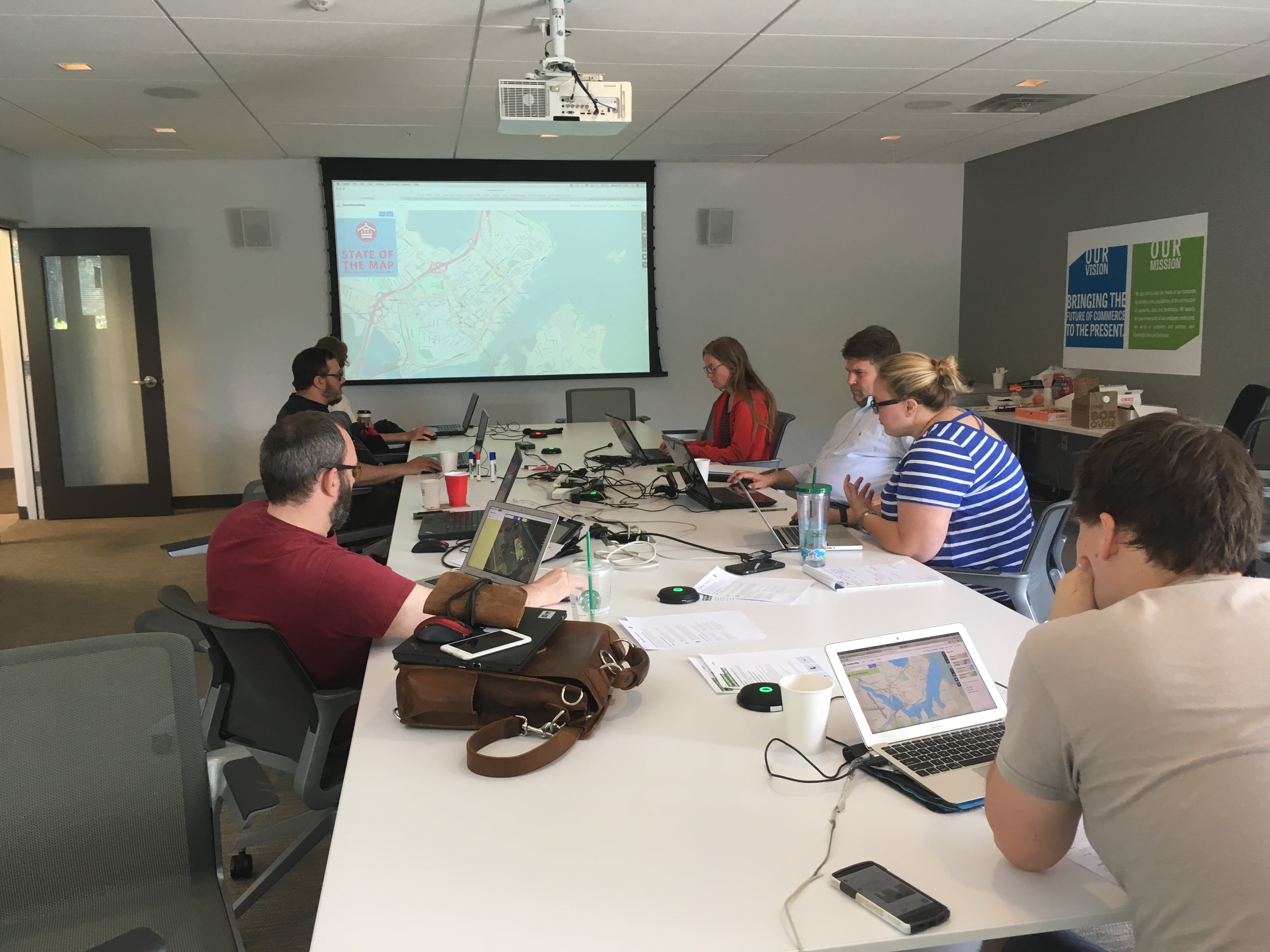
On Saturday July 29, the Maptime Maine (MaptimeME) meetup group joined the OpenStreetMap US Summer Mapathon with their own transit-themed OpenStreetMap event.
Held at Wex, Inc, the event was scheduled for 3 hours but went a full 6! People did not want to stop learning about OpenStreetMap in Portland. Portland, Maine that is. Not Portland, Oregon or Portland, Arkansas or Portland, Georgia or Portland, Colorado. (Is Portland the new Springfield?)
Since Portland, ME is a small city, the mapathon first focused on bus routes and then expanded into a range of transit modes including Casco Bay ferries, bike routes, walking trails, and bike trails. Local GIS analyst, Kira Kefer helped lead events by introducing OpenStreetMap and how it can be applied to the transit routing in the greater Portland, ME area.
OpenStreetMap basics were introduced and reviewed including key concepts like layers, zoom, and features. Kira also pointed out the Map Data feature where you can link other accounts such as Mapillary to OpenStreetMap.
MaptimeME attendees worked on editing bus stops, networks, and bus routes for 6 hours, enjoyed pizza, and discussed other mapping tips and tricks. Future OpenStreetMap mapathons were discussed and upcoming map events will be forthcoming! Stay tuned.
This is a blog post from Portland, Maine participants in the recent Summer Mapathon! The board of OpenStreetMap US helped support activities by providing food. If you also have an update on an OpenStreetMap event and/or would like our support – food or otherwise – please reach out at board@openstreetmap.us! And join us for our Fall Mapathon this November. Sign up now! – Alyssa