This a guest blog post by OpenStreetMap US community member Daniela (Dani) Waltersdorfer (@DWaltersdorfer). She has attended four SOTMUS events, with her first being State of the Map US in New York (2015). Daniela maps with iD on her free time thru HOTOSM tasks and for fun to fill in gaps on the map. She recently mapped the roads and landuses (residential and commercial) around a lake house she visited in Vermont, which happened to not be on the map.
Got OpenStreetMap US news or info to share? Hit us up at board@openstreetmap.us and we’ll work with you to craft a blog post to share with the community!
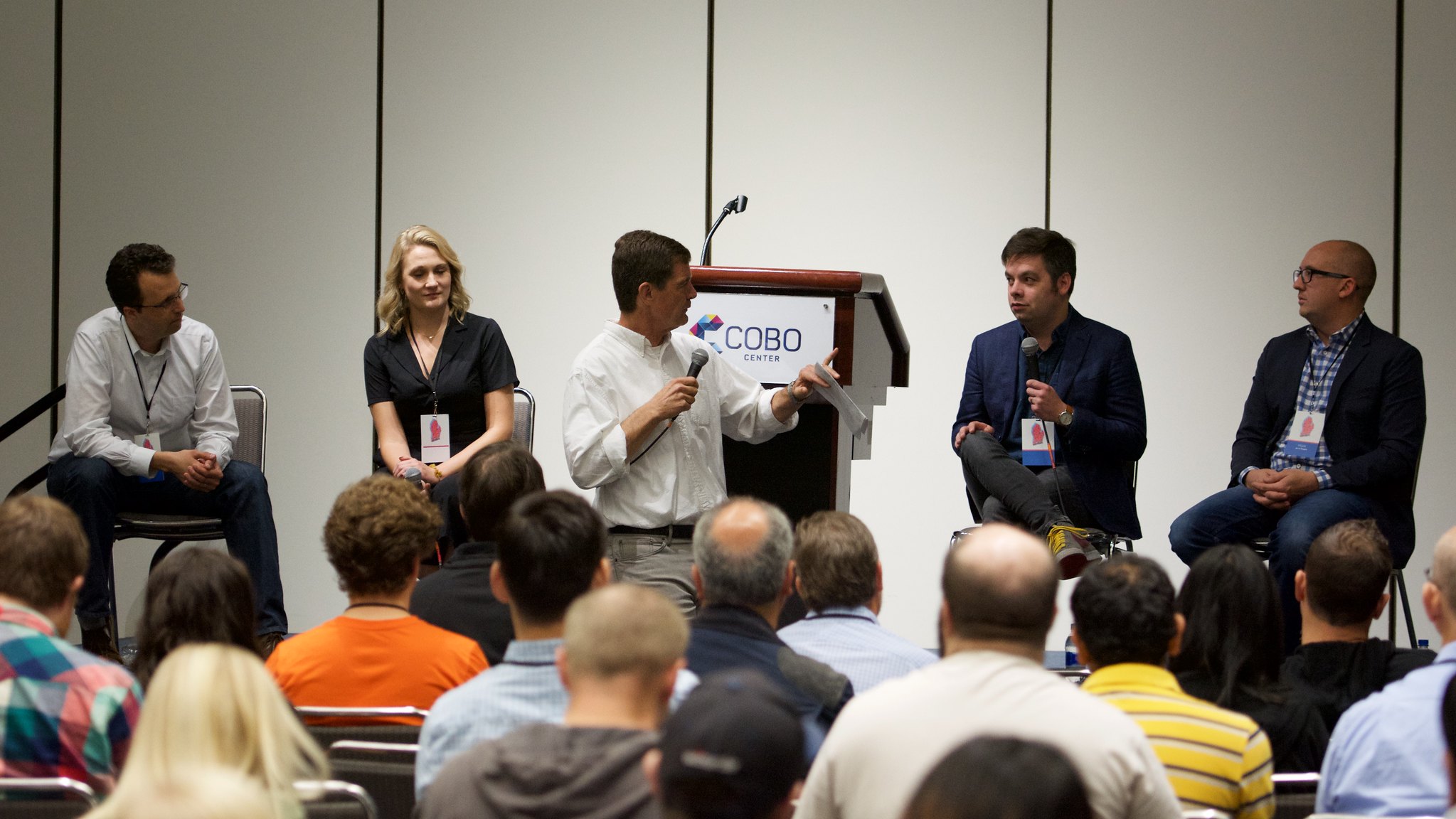
Detroit, The Motor City
Once a capital of all things transportation, when of course, transportation revolved around the automobile industry. What better place, then, to host the most transportation-driven State of the Map US yet! The 2018 State of the Map US took place in beautiful Detroit. It included speakers and attendees from municipalities and transportation-related firms like General Motors, Telenav, Lyft, Uber, Development Seed, SharedStreets, Microsoft, Cambridge Systematics, ESRI, Kaart, UrbanFootprint, as well as many other great institutions. These attendees filled the rooms to educate and learn about what is happening in the transportation industry and how OpenStreetMap is helping new technologies emerge. There were also talks from other firms, such as tech companies, nonprofits, and local mapping communities.
Amongst the hot topics in the room was the curb. That’s right, once a forgotten real estate piece in cities, used mostly for street parking, it’s now being utilized for various modes of transportation and its demand is on fire. It was talked about throughout the OSM for Automotive panel, in research touched-upon by Uber, in my presentation (via some of my research at Cambridge Systematics), and in talks by UrbanFootprint and SharedStreets.
OSM is helping various companies and individuals achieve their vision for the future of transportation, where pedestrians, cyclists, transit riders, and motorists feel safe in an environment that promotes connectivity and accessibility to all. OSM is helping to map different scenarios to test endless possibilities, such as the case of Development Seed’s OSM-Seed where you can use OSM data for scenario planning purposes, or by using tagging to indicate which uses of a road, sidewalk or curb may be allowed (such as rush hour, or bus lanes, and so on). In another talk, the City of Detroit collaborated with Microsoft, Mapillary, and Terrain360 to use street-level imagery to map the city.
We are all collaborating to create this massive open-source map for all, where every use is accounted for. We are working to create, or get closer to, our transportation utopia, and OSM is getting us there.
In case you missed this year’s SOTMUS, and you are interested in learning more about OSM for Transportation, I recommend you watch these talks:
- Transportation as a Service- Using OSM at Lyft to Improve your ride by Alexandra Kazakova and Renee Park, Lyft Video
- OSM in Every car… Close than you May Think by Philipp Kandal, Telenav Video
- The OSM for Automotive Panel Video
- Detroit: The Best Open Map in the World by Dexter Slusarski Video
- Bike Lane Mapping by Jake Sigal Video
- Mapping the Curb by me, Dani Waltersdorfer Video
- United States Destination Tags David Koons, Kaart Video
- Historical Change Mapping Using OSM as a Platform by Matthew A. Hanson and Marc Farra, Development Seed Video
- SharedStreets: Making Streets Interoperable by Kevin Webb, SharedStreets Video
- Filling in the Gaps with the Mapillary API, by Christopher Beddow, Mapillary Video
- Map Matching When the Map is Wrong by James Murphy, Lyft Video
- Maps for All Maneuvers, by Yuanyuan Pao and Renee Park, Lyft Video
- OSM in UrbanFootprint - Combining walk network with transit schedule data for non-autobased accessibility measures by Kuan Butts, UrbanFootprint Video
- OSM and Land Use Planning – City Scale Scenario Development for the Future of Cities by Jamie Alessio, UrbanFootprint Video
- Measuring Transit Data Coverage by Simon Shapiro, Microsoft Video
If you attended this year’s SOTMUS, or if you’ve been following the videos online, what did you think? Did you enjoy the transportation focus of some of these talks? Transportation is a field that cuts through many other fields and is a need and a right for all.
Thank you!