This a guest blog post by OpenStreetMap US community member Allison Fisher from the City of Portland, ME. She and her team in Portland sent in a report from their recent mapathon and we’re excited to share how it went. Got OpenStreetMap US news or info to share? Send it in to board@openstreetmap.us and we’ll work with you to craft a blog post to share with the community!
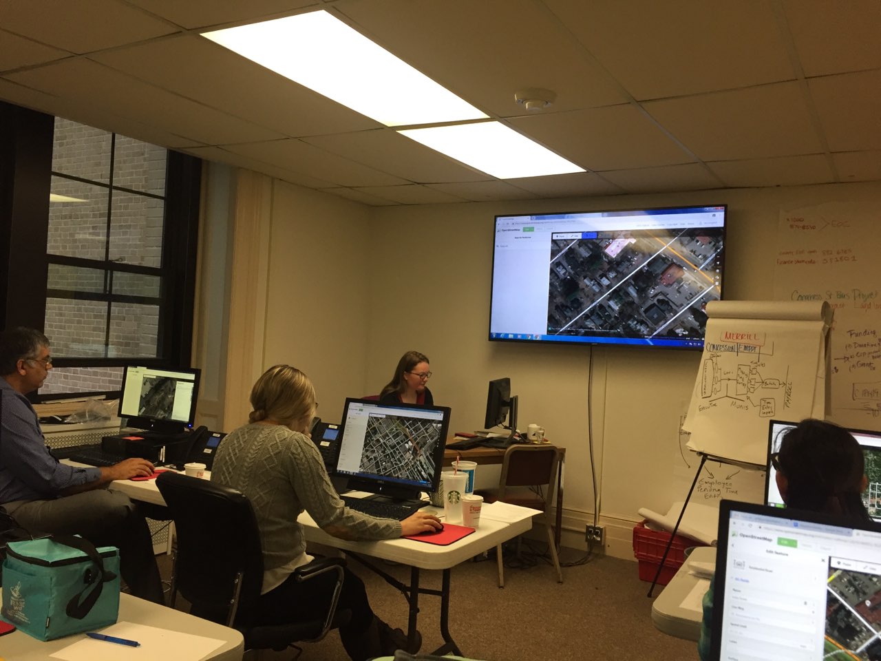
On Tuesday, November 13th, one day before the official GIS Day November 14, the City of Portland hosted a GIS Mapathon utilizing Open Street Map to celebrate GIS Day and participate in #OSMGeoWeek. We put out an open invitation to staff and the community with the intention to map transit infrastructure in the City, or improve existing content in OSM.
Twelve locals to Southern Maine gathered at Portland’s City Hall from 10 AM to 2 PM to participate in improving the City’s transit infrastructure mapping on OSM with great success. The participants had a variety of experiences with GIS and mapping technologies. Their careers ranged from City Staff to software developers to GIS professionals, from Public Health professionals to educators to Bicycle Coalition representatives.
Projects for transit included digitizing known bike paths; mapping bike rack locations; and problem solving to map bus routes and known bus stop locations. Additionally, some participants updated resource center locations to contribute to public health knowledge in Portland. There was a lot of interest in improving and updating bicycle route data in OpenStreetMap for the greater Portland area. This will hopefully continue beyond the Mapathon to result in more improvements down the road, and more collaboration to make GIS data available in the future.