Do you remember your high school geography classes? (Did you even have a high school geography class?) How cool would it have been to use OpenStreetMap in your class? If you’re being honest you would say that it would be really cool. Because it is so cool, putting OpenStreetMap in schools is the central mission of the TeachOSM project. Since 2016, TeachOSM has trained ~350 teachers and vocational educators in open mapping techniques. So giving open mapping workshops for teachers has become a staple of our programming over the last few years. In this post, I briefly outline what we do in our workshops, why it is vital work, and how you can help us to make OSM available in geography classes everywhere.
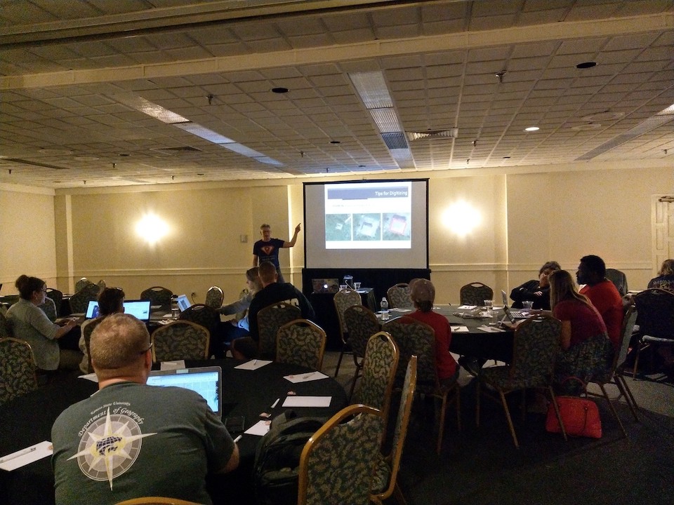
In early June 2019, TeachOSM conducted a 3-hour introductory workshop for educators. The workshop consisted of the briefest overview of OSM project, origins & growth and rationale for contributing. We also introduce the OpenStreetMap value proposition, that OSM provides low-cost, accessible, and available map editing capabilities. Whenever we train teachers in the use of OSM, we always stress two things: 1) the value of applied mapping for integrating mapping with real world concerns (e.g. humanitarian mapping), and 2) the low cost of, and few barriers to using OSM.
For most of our teacher participants, these workshops are their first foray into open mapping and others, while not their first time mapping, they welcomed the basic training to refresh their OpenStreetMap skills. We typically focus on digitizing buildings in a border area to show how open mapping reveals striking differences in housing and land use patterns on either side of the border. This too, is another important piece of our training: teachers must be able to connect mapping with the educational objectives of the geography curriculum. Simply training teachers to map is not sufficient.
TeachOSM is conducting several workshops in 2019, with future workshops planned at State of the Map and various educational conferences. We’re doing this because we need to train the next generation of mappers. (OpenStreetMap has a lot of data to maintain!) In addition to that, educating teachers & students is vital to maintaining a publicly available source of worldwide geographic information. Moreover, we are learning that open mapping is an excellent way to acquaint young mappers with elements of spatial citizenship, the notion that participation in civil society has an explicit spatial element.
How can you help put OSM in schools? Do you actively map, or give material support to the OpenStreetMap project? Then consider reaching out to geography and STEAM teachers in your local area. You can help them navigate those tentative first steps into open mapping. You can foster a sense of confidence within teachers with whom you collaborate. Most importantly, you can help grow our community by actively welcoming an audience that is keen to map. Who should you reach out to? Try teachers aligned with the STEM/STEAM curriculum. Also, be alert for Ôproject-based learningÕ experiences, because a student mapathon is the gold standard for project-based learning. Lastly, if youÕre interested in helping promote OSM in schools, get in touch with us at the TeachOSM project.