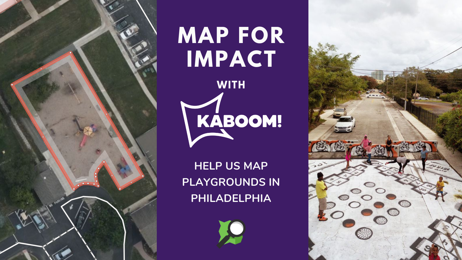
KABOOM! is a national nonprofit that works to end playspace inequity, the systemic lack of access to quality spaces for play along racial and economic lines, through community-led playground builds.
OpenStreetMap US is partnering with KABOOM! as part of Mapping for Impact. Mapping for Impact is a new program of OpenStreetMap US that partners with civic, social and environmental organizations in the US to leverage OpenStreetMap data for their mission. Do you know a local organization we should partner with? Email jess@openstreetmap.us
Playgrounds are among the few community spaces designed specifically for kids, and decades of research show how critical play is for their physical, social, and emotional development. Analyses have also shown that parks and recreational assets tend to be unevenly distributed, with residents in predominantly white, affluent neighborhoods enjoying broader access to higher quality amenities than low-income and communities of color.
A recent study of urban parks in the 100 largest U.S. cities found that neighborhoods where most residents identify as BIPOC have access to an average of 44 percent less park acreage than predominantly white neighborhoods. Likewise, research in the journal Pediatrics found that low income communities of color were fifty percent less likely to have one public recreational facility in their community than white and high-income neighborhoods.
While these broad trends are well documented, data about playground access specifically–including where play deserts exist–is often lacking. Even more elusive is data that speaks to the quality and safety of playgrounds, taking into account factors like size, amount and type of equipment, and whether the equipment is functioning and maintained. When KABOOM! completed a playspace assessment in partnership with Baltimore City Public Schools, an equity gap was uncovered that found the following:
-
Nearly 40 elementary school playgrounds were not fit for use, representing more than 12,000 kids without a safe, high-quality playground.
-
These playgrounds were located at elementary schools with more children of color than the system as a whole.
KABOOM! is currently using this data to guide a multi-year partnership with the school system to achieve playspace equity in all Baltimore elementary schools by 2025, and believe that this model shows promise for other cities.
In 2019, MapTime Bmore worked with Baltimore-based Advocates for Children and Youth (ACY) by mapping playgrounds in Baltimore to help close the data gap. This collaboration, documented in Jonathan Dandois’ blog post, showcased how a baseline dataset in OpenStreetMap can be a foundational step in understanding and improving playground equity. Building on the collaboration in Baltimore, KABOOM! is partnering with OpenStreetMap US to ask for support in mapping playgrounds for upcoming work in Philadelphia.
How you can help
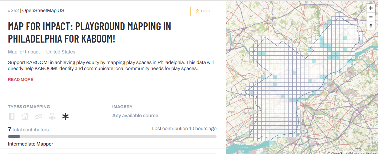
Support these efforts in Philadelphia by mapping playspaces in OpenStreetMap. This data will directly help KABOOM! identify and communicate local community needs for playspaces. Go to the OpenStreetMap US Tasking Manager and help complete Project #252 in the OSM US Tasking Manager. As of posting, we’re at 37%! We need you to help us reach 100%.
Are you a validator or an expert playground mapper? Help complete validation for this project to ensure all mapping has been done correctly.
How to map playspaces in OpenStreetMap
Not sure how to map playgrounds and playspaces? No worries, here is a quick guide:
Playgrounds
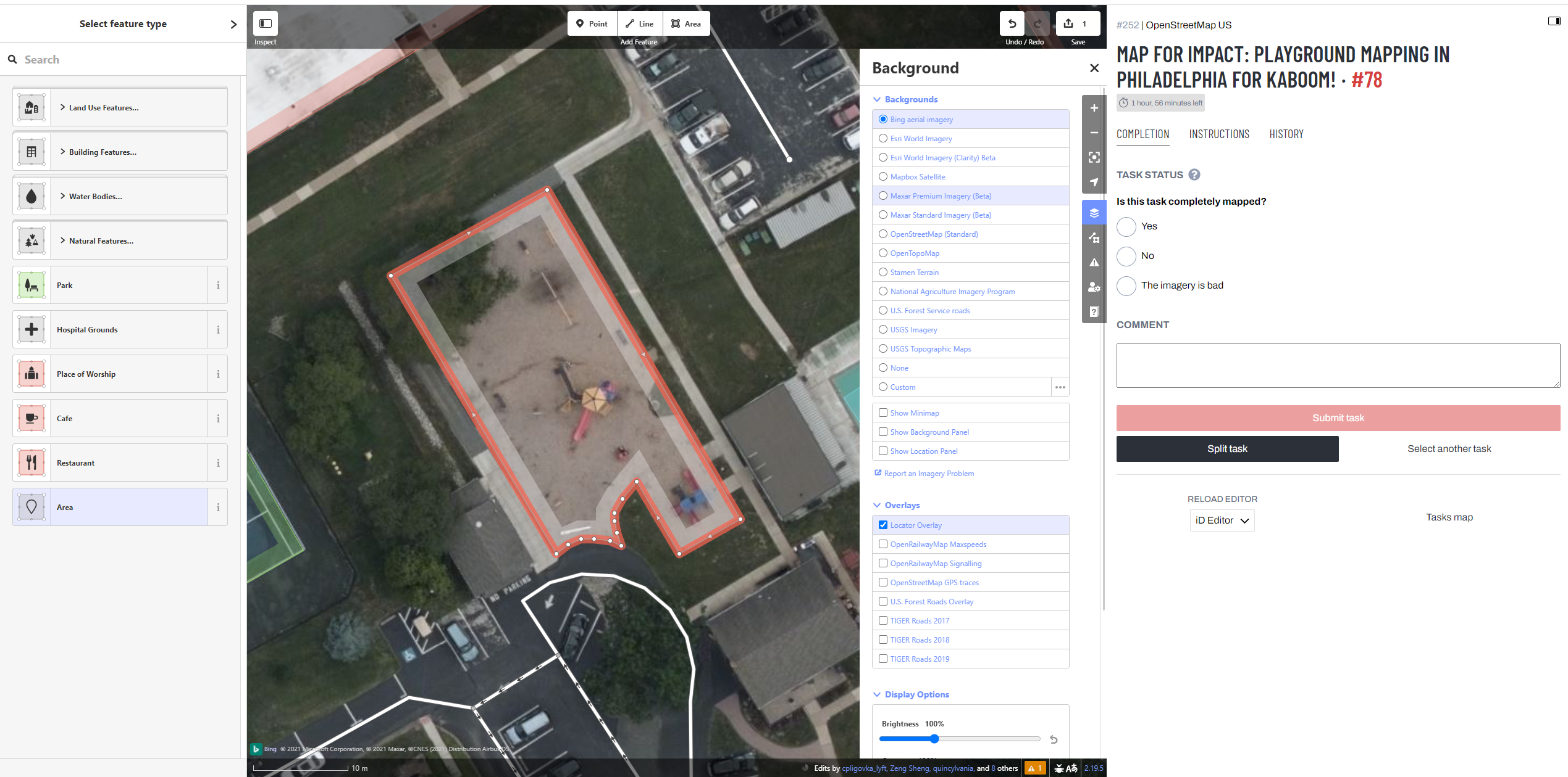
When you know what to look for, playgrounds and playspaces (not covered by tree canopy) can be exceptionally distinct on aerial imagery. If you’re new to identifying playgrounds from imagery, look for parks and school grounds as visual cues for potential playgrounds. However, playgrounds and other play areas may also exist separately from these amenities. Playgrounds and playspaces often occur in other locations such as apartment complexes and church grounds; sometimes neighborhood associations will convert vacant lots into formal playspaces. All of these need to be mapped!
When you locate a playground, create an area of the grounds and tag it leisure=playground. While it’s acceptable in OpenStreetMap to map playgrounds as nodes, mapping playground features as areas important for data analysis in understanding playground size. If boundaries of the play area are unclear, create a reasonable area around visible play equipment. However, mapping playgrounds as nodes is better than not mapping at all! If you’re a beginner mapper and/or uncomfortable defining the boundaries, map a play area as a node that can be revisited by an experienced mapper.
Not all playgrounds have equipment. Some play areas are simply blacktop activities such as four-square or hopscotch on a patch of asphalt. Don’t overlook these! Map these areas as playgrounds as well!
See the OSM Wiki page on tagging playgrounds for additional information.
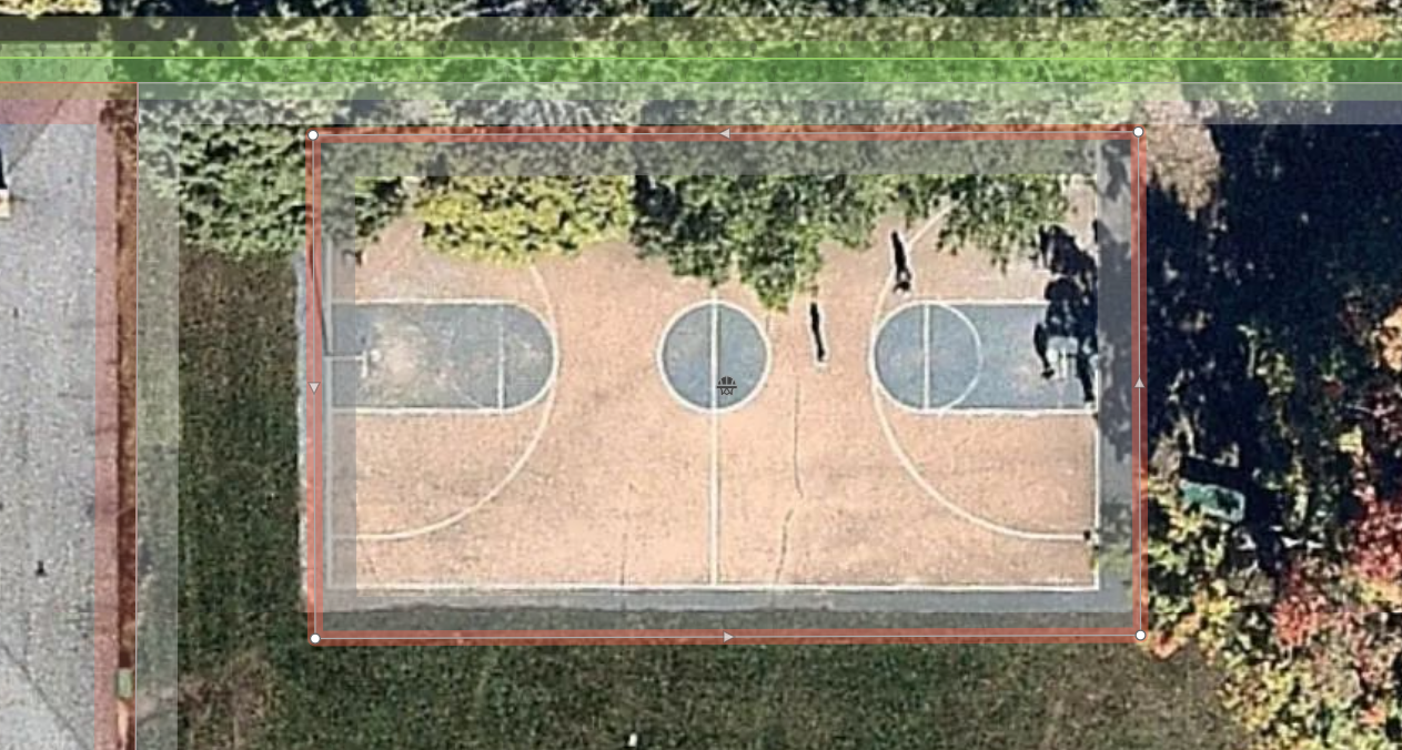
Sport Courts & Fields
Playgrounds are not the only space that provides an opportunity for play. Basketball courts, baseball fields and other sport features are equally important and sometimes provide the only designated area for outdoor play for neighborhoods. Similar to playgrounds, map these Sports courts / pitches as areas where possible, using the “leisure=pitch + sport=*” tag.
Parks
Any parks missing from the map should be added with the tag leisure=park as an area.
In Philly? Head outside and map additional attributes and features
Completing the basemap of existing playgrounds and playspaces in Philadelphia is a critical first step. However, there is a lot of vital information that KABOOM! needs that can only be gathered by local mappers on the ground. Whether you want to go map your local neighborhood park or gather a group of mappers to cover a wider area, check out the additional features and attributes below that will help KABOOM! assess quality in addition to size and location. (Reach out to jess@openstreetmap.us for a full list of local mapping needs if you would like to organize a group mapping activity locally in support of KABOOM!)
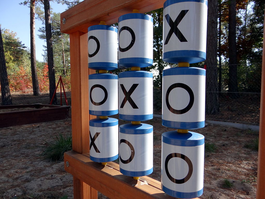
Przemysław Czopor, CC BY 3.0, via Wikimedia Commons
Additional Playground Attributes
-
Is there fencing around either the playground footprint or the site (the area including the playground footprint and contiguous outdoor areas)? Map the fence with barrier=fence.
-
What type of surfacing is under and around play components? Add a surface=* tag to the area.
-
Is the playground open to the wider community or restricted to clients or members? Add an access=*
-
Is the playground only open at specific times? Add an opening_hours=* tag.
Add specific playground components
Mapping individual play components (i.e. slides, swings) contributes to the understanding of quality and access. You can map individual features of the playground as nodes with the playground=* tag or add the features to the overall playground as a tag if it’s not possible to map the location of components.
Features to look for and map include slides, swings, activity panels, spinners, spring toys/see-saws, balance beams, talk tubes, blacktop games (e.g. hopscotch). Check out the playground=* wiki page for more information on how to map these features.
Other site amenities/non-play components
The quality of a playground is also impacted by the environment and amenities available besides the equipment. Where possible try to map benches, picnic tables, shelters, toilets, and water fountains.
Stay connected and spread the word
As we map together in support of play equity, join the #play-mapping channel on the OSM US slack. Ask questions about mapping tasks or share ideas on how we can be mapping play areas in your local area.