The 12 Months of OpenStreetMap is an initiative led by OpenStreetMap US, and inspired by the Project of the Month done by map contributors in France, Switzerland, and Germany. The initiative is designed to engage the mapping community and volunteers around a new theme every month.
Greenspaces, such as parks, community gardens, and nature reserves, are well known to have significant, positive impacts on our health, especially for those living in urban areas. Access to these greenspaces, however, varies widely across the United States - particularly along racial and economic lines.
Mapping the extent of tree canopy and greenspaces can help with analysing and understanding the impacts of environmental justice issues such as urban heat island, air quality and other community health indicators. Visualizing the extent of urban canopy and greenspaces also assists urban planners and decision makers to identify gaps and inequity in access to the natural environment. Help city planners and advocacy groups demonstrate these disparities and areas for improvement by mapping existing trees and greenspaces in OpenStreetMap for your area.
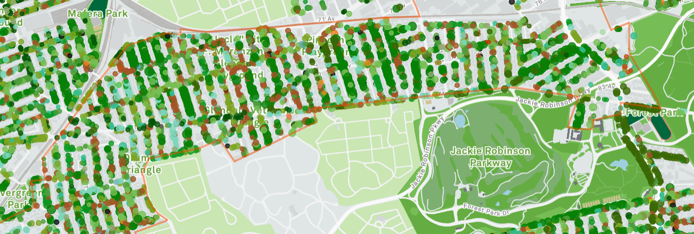
Image: New York City Street Tree Map, City of New York
What you can map
Use this brief guide to get started and what resources to use. Be sure to add #12MonthsofOSM to your changesets in April.
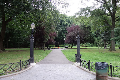
1. Parks and other greenspaces
Map all of the urban parks in your neighborhood using leisure=park. If park boundaries are already mapped, map details and amenities such as paths, shelters, playgrounds, toilets and waste bins. More information can be found on the OSM Wiki here. If all the parks are already well mapped in your local area, look for a nearby neighborhood that is incomplete. Consider focusing on under-served neighborhoods in your city.
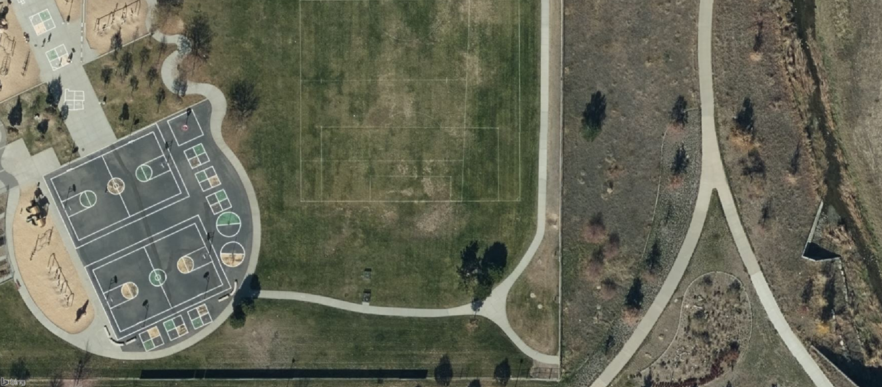
Credit: Bing Imagery
2. Street trees
Canopy cover along streets and roadways reduce traffic, reduce urban temperatures, and contribute to a higher quality of life for residents. Map at least 25 street trees in your neighborhood. To map a tree, place a point at the location of the tree’s trunk with the tag natural=tree. Additional tagging information can be added such as species type. More information can be found on the OSM Wiki here.
Did you know that MapComplete has a theme dedicated to mapping trees? Check it out here.
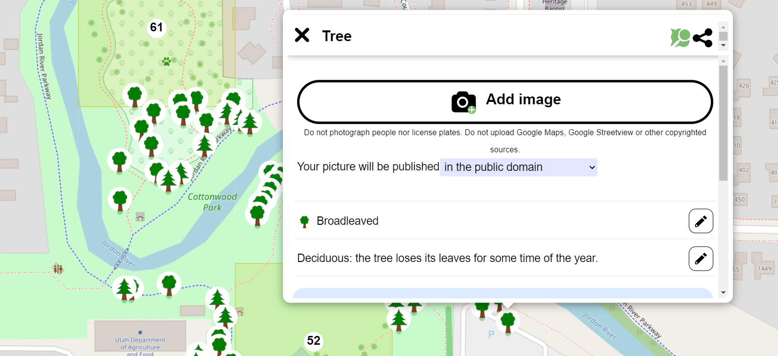
Image: Tree Mapping on MapComplete
3. Urban natural areas and nature reserves
Map preserved natural areas within urban areas such as nature reservations, wetlands, and woods. These areas can be mapped with the natural=* or landuse=* tag depending on the type of feature. More information can be found on the OSM Wiki pages for natural and landuse.
Tip: Most natural areas will be managed by an entity such as a nonprofit or government agency. If the operator is known or can be identified, cross reference with additional information from the operator to provide additional information such as access permissions and if the area is dog-friendly. This will help ensure that adding the area to OpenStreetMap does not mislead map users to accidentally break access rules.
Monthly Project
Each month in 2022, we’ll highlight (or set up) a project for the OpenStreetMap US community to gather around and map. This month, help improve OpenStreetMap data on by mapping urban greenspaces in the Baltimore-DC area on MapRoulette.
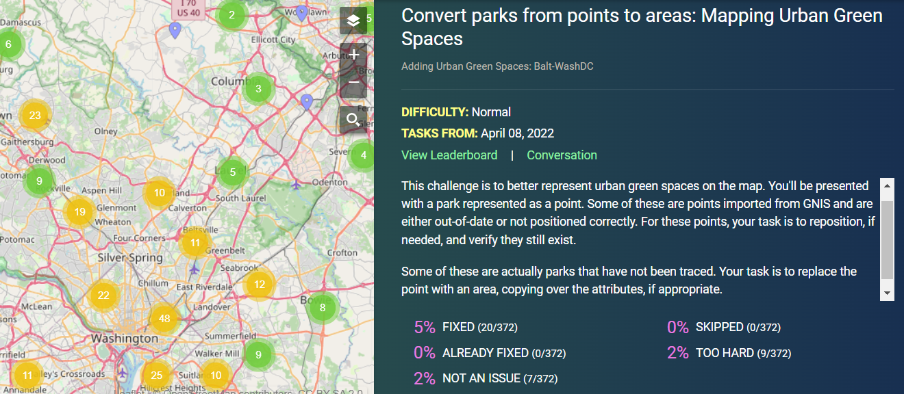
Image: Park Mapping Challenge on MapRoulette
Urban Greenspaces Mappy Hour
How can local mappers support urban conservation efforts? Veronica Nixon joined us for Mappy Hour on April 27 to share how PHXGeo volunteers are mapping saguaro in Papago Park and how these efforts contribute to the Desert Botanical Garden Saguaro Inventory. Check out the recording below:
Do you have a great use case for how OpenStreetMap data has been used for conservation? Share with us at team@openstreetmap.us and we’ll do our best to add it here.