The 12 Months of OpenStreetMap is an initiative led by OpenStreetMap US, and inspired by the Project of the Month done by map contributors in France, Switzerland, and Germany. The initiative is designed to engage the mapping community and volunteers around a new theme every month.
As with sidewalks and road networks, mapping public transit and bicycle infrastructure helps improve and diversify navigation data that is available to OpenStreetMap users. In addition to helping users understand more sustainable transit options available to them, mapping sustainable transportation methods can help planners and researchers understand gaps in these transit options for improvement and development.
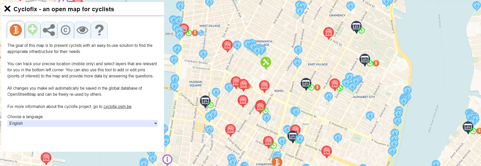
Image: Mapping bicycle infrastructure on MapComplete
What you can map
Use this brief guide to get started and what resources to use. Be sure to add #12MonthsofOSM to your changesets in May.
1. Mapping bus stops in your local area or neighborhood
Adding bus stops to OpenStreetMap is the first step in mapping the public transit network. Map bus stops in your local area, add additional details such as reference information, operator, wheelchair accessibility, and physical attributes/amenities. If all bus stops are mapped in your area, check data for completeness and ensure information is up to date - in particular, accessibility and physical attribute completion. More information can be found on the OSM Wiki here.
Mappers are encouraged to either collect this information in-person (i.e. field survey) or use local knowledge as well as use information provided by their local transportation agency as reference data to ensure completeness. Detailed information on mapping bus infrastructure can be found here.
Tip: Users can quickly check the coverage of bus stops for their city using this query in Overpass Turbo. To use, navigate the map to your local area and select ‘Run’.
2. Mapping bike boxes (advanced stop lines) in your city.
Many cities are now adopting the practice of adding bike boxes (or advanced stop lines) to traffic-light intersections, allowing cyclists to have a safe head start at signal changes. Add nodes to highways with the tag cycleway=asl at the location of the box (before the intersection). More information can be found on the OSM Wiki here.
Are you an advanced mapper? Consider mapping bike lanes - learn how in this excellent video tutorial:
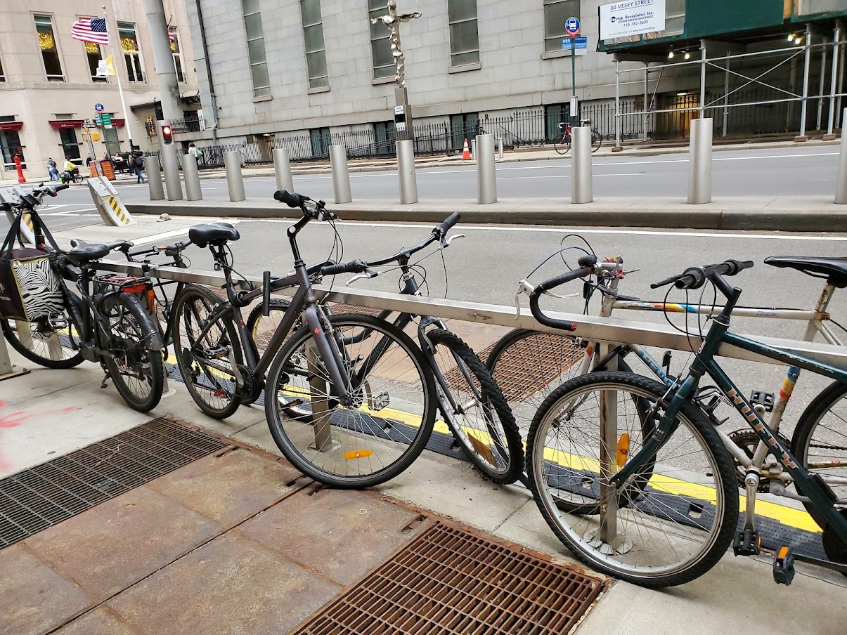
3. Add parking and rental stations for bicycles and scooters
Micro-infrastructure can play a critical role in the useability of sustainable transportation options such as bicycles and electric scooters. In your neighborhood, map all bicycle parking racks with amenity=bicycle_parking with operator and capacity information, if known.
Electric scooter (kick scooter) and bicycle rental options in cities are becoming a growing option to encourage both residents and tourists to use alternative transit in place of vehicles. Map rental hubs with amenity=kick-scooter_rental or amenity-bicycle_rental with operator and capacity information, if known.
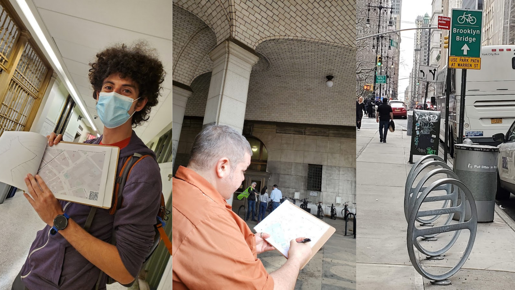
Image: OSM NYC mapping bike infrastructure during Open Data Week NYC 2022
Monthly Project
Each month in 2022, we’ll highlight (or set up) a project for the OpenStreetMap US community to gather around and map. This month, help improve OpenStreetMap data by mapping services and amenities along the 9-11 National Memorial Trail.
Sustainable Transportation Mappy Hour
Zhi Keng He from BetaNYC joined us for Mappy Hour on May 25 to share mapping & open data efforts in New York City about bike infrastructure, the rise of e-bikes and scooters, street safely improvements, and more. Check out the recording below:
Are we missing any great resources, recommendations or tips on mapping the sustainable transportation infrastructure? Email us at team@openstreetmap.us and we’ll do our best to add your expertise here.