
The 12 Months of OpenStreetMap is an initiative led by OpenStreetMap US, and inspired by the Project of the Month done by map contributors in France, Switzerland, and Germany. The initiative is designed to engage the mapping community and volunteers around a new theme every month.
Strong social infrastructure is a critical component of resilient communities and ensuring that individuals and families can lead safe and healthy lives as part of an inclusive community. Mapping the features that contribute to social infrastructure can help identify the diversity of amenities available to communities. When paired with demographic data, this information can also help us understand who has access and what may be missing in a community.
What you can map
Use this brief guide to get started and what resources to use. Be sure to add #12MonthsofOSM to your changesets in October.
1. Mapping community gardens and farmers markets
Access to healthy, local food is important for local economic resilience and can contribute to reducing barriers to food security. Map farmers markets in your area with amenity=marketplace. More information can be found on the OSM Wiki here.
Community gardens are mapped in OpenStreetMap depending on their operational structure. For community gardens with assigned plots, map the full garden with landuse=allotments. For community gardens collectively maintained without assigned plots, map the area as leisure=garden + garden:type=community. Make sure to add additional information such as name, contact information, and operator, if known.
Tip: Many municipalities list farmers markets and community gardens online. Use this information to verify data and ensure completeness in your area.
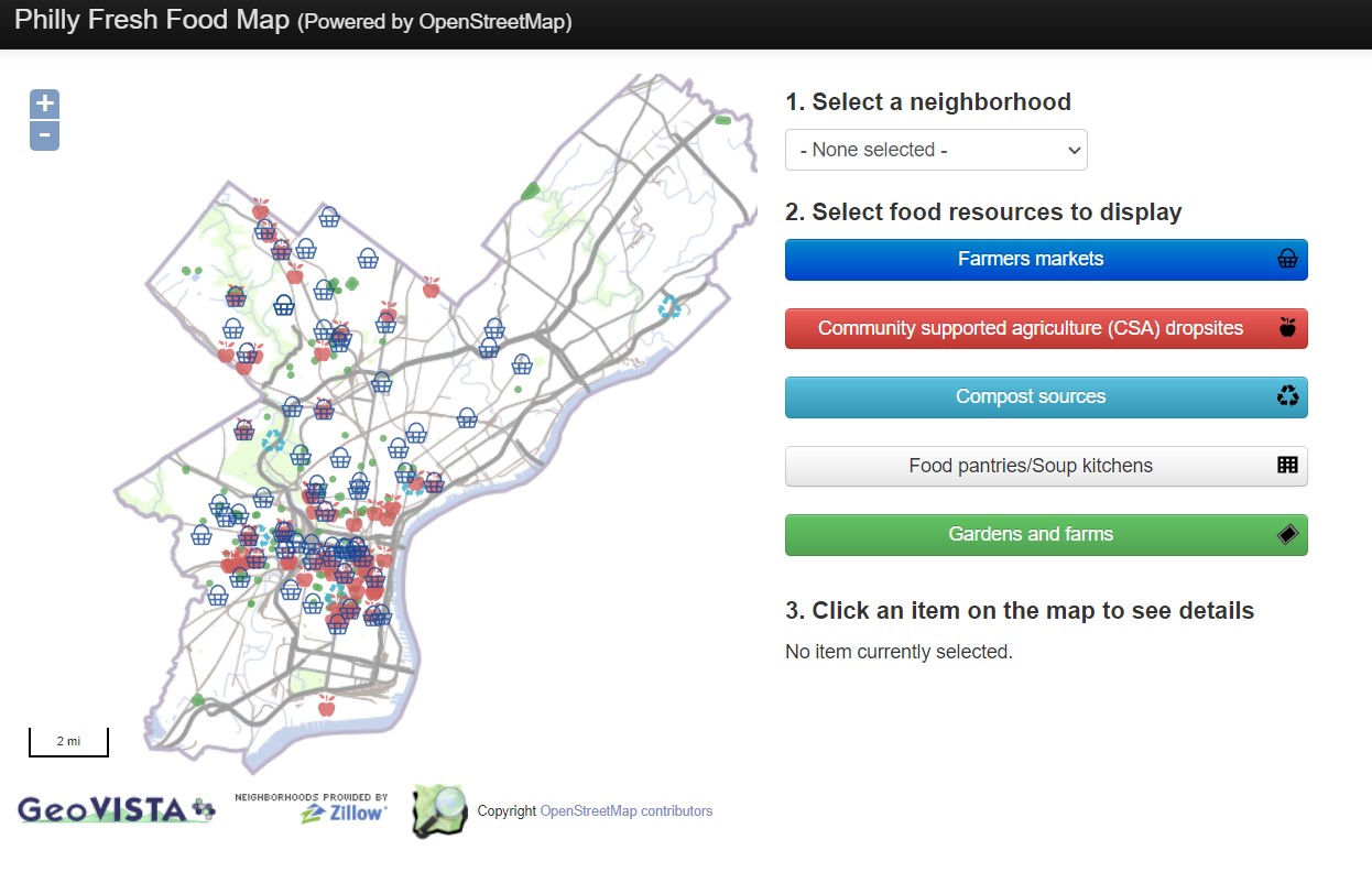
Check out the Philly Fresh Food Map for inspiration:
2. Mapping community centers and libraries in your local area or neighborhood
Community centers and libraries often serve as places of cohesion and gathering for communities, providing opportunities to learn and develop local connections. These facilities may also serve as shelters or distribution centers for assistance during a crisis.
Map libraries using amenity=library tag as well as name and operator tags. More information can be found on the OSM Wiki here. Community centers should be mapped using the amenity=community_centre tag and community_centre:for-* if the facility is specifically used for certain groups. More information can be found on the OSM Wiki here.
Tip: Many municipalities list libraries and community centers online. Use this information to verify data and ensure completeness in your area.
3. Add social facilities in your area
Social facilities provide services that create positive impact in their communities, often targeted towards supporting individuals and groups with particular needs. Map social facilities with amenity=social_facility and social_facility=*. Social facility types include clothing and food banks, shelters, and assisted living homes. For a full list, review the OSM wiki page here.
Remember to include #12MonthsofOSM in all your changesets.
Healthy Communities Mappy Hour
Jing-Huei Huang and Aaron Hipp from NC State University joined us for Mappy Hour on October 26 to discuss the ground truthing and use of OSM playspace data in Colorado to understand and improve play equity. This data was mapped earlier this year by the OpenStreetMap US community in support of KABOOM! and the Colorado Health Foundation. Check out the recording below:
Are we missing any great resources, recommendations or tips on mapping for healthy communities? Email us at team@openstreetmap.us and we’ll do our best to add your expertise here.