This blog post is an update on the OpenStreetMap US Trails Stewardship Initiative. For past news and additional information on this initiative, visit openstreetmap.us/trails.
Background
Public open spaces in the United States continue to see unprecedented levels of visitation. This has led to an increased frequency of safety incidents, environmental resource damage, and a strain on land management agencies and organizations.
Because many of the most popular outdoor apps use OSM data to inform their maps, OSM US formed the Trails Working Group to address these issues by improving the data detail associated with trails. Over the past year, the OSM US Trails Working Group has successfully:
-
Convened stakeholders to develop a shared understanding of challenges and needs;
-
Created tagging and rendering guidelines for land managers and OSM community members;
-
Piloted the schema in a real world example to inform future efforts.
Pilot Objectives
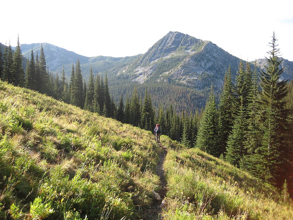
In May 2022, we announced the launch of the pilot in three different spaces in Washington state to see how the tagging schema affects the rendering of trails on public maps. The areas were chosen because of their varied trail systems and use types (hiking, biking, equestrian, etc.). In addition, many working group participants share familiarity with the area including from the differing perspectives of mappers, land managers, and recreationists.
The objectives of the Trails Stewardship Initiative pilot were threefold:
-
Use the proposed tagging schema in a specific geographic region to evaluate viability and identify edge cases
-
Evaluate how the tagging schema may impact various public-facing maps via improved trail rendering (the visual representation of trail information on a map)
-
Discuss the rendering and tagging outcomes with various stakeholders, primarily land managers, to identify additional needs and opportunities
Pilot Outcomes
Through discussions with OSM mappers, land managers and trail app developers, the working group successfully created a schema for describing the management status of trails. This high-level data schema focuses on whether or not trails are recognized for use by the local land managers and therefore emphasizes the trail systems approved for people to use, thus keeping people and the environment safe. Thanks to the hard work of OSM volunteers, the trails in the pilot area were meticulously mapped using this schema.
Through the active participation of navigation app companies, such as AllTrails & Gaia, in the Trails Working Group, we were able to quickly see the results and impact of how these tagging guidelines could be rendered. Below is an example of before and after images of this schema being applied in an area in the Pacific Northwest. Trails that are not part of the land managers approved network are less prominent in the tools people use to explore our outdoors.
Local land managers in the Pacific Northwest, who are not part of the Trails Working Group, reviewed the outcomes of the pilot via a survey containing slider maps like the one above. They largely responded with positive feedback on the outcomes (see below). The detailed feedback provided allowed for further improvements to be made to rendering.

We are energized by the success of the pilot but there is more work to be done! The working group will continue to discuss mapping guidelines and bring in not only the management status of trails, but also the physical characteristics of trails so users can be better informed. Other avenues of future work include testing the schema in different geographies and testing the mapping process with people external to the working group.
Looking Ahead
It has become clear based on numerous discussions with land managers that the Trail Stewardship Initiative is important to the safety of trail visitors and the protection of our environment. The working group also provides a unique opportunity to facilitate collaboration among recreation stakeholders. As we enter the next phase, the group will continue efforts to improve the data behind many public trails by focusing on the following initiatives.
-
Test the data schema and rendering outcomes in a new geographic area
-
Conduct a feasibility study of leveraging Public Domain Map for certain trail mapping scenarios, a mechanism that may increase participation from land management entities interested in using OSM
-
Collect additional feedback from stakeholders to inform and ensure buy-in for tagging and rendering guidelines
-
Lead planning and fundraising for the launch of the National Trails Campaign that will increase the visibility of these efforts among OSM and management entities
-
Exploration of tagging guidelines for other trail related features to improve stewardship and safety (i.e. campsites, ablutions, day use areas, ADA compliance)
Get Involved
There are still voices missing from the Trails Working Group! We would love to involve more local land managers, indigenous perspectives, local mappers and trail-goers, outdoor clubs and enthusiasts as this project moves forward. The process of creating maps can be as important to building community consensus as the maps themselves, so please don’t hesitate to get involved! Please let us know your interest by completing the form on this site.
You can learn more about this work on the U.S. Trails wiki, on this episode of the Nowhere podcast, a Mappy Hour about Trails in OpenStreetMap and a presentation by Diane Fritz and Jake Low at Mapping USA.