
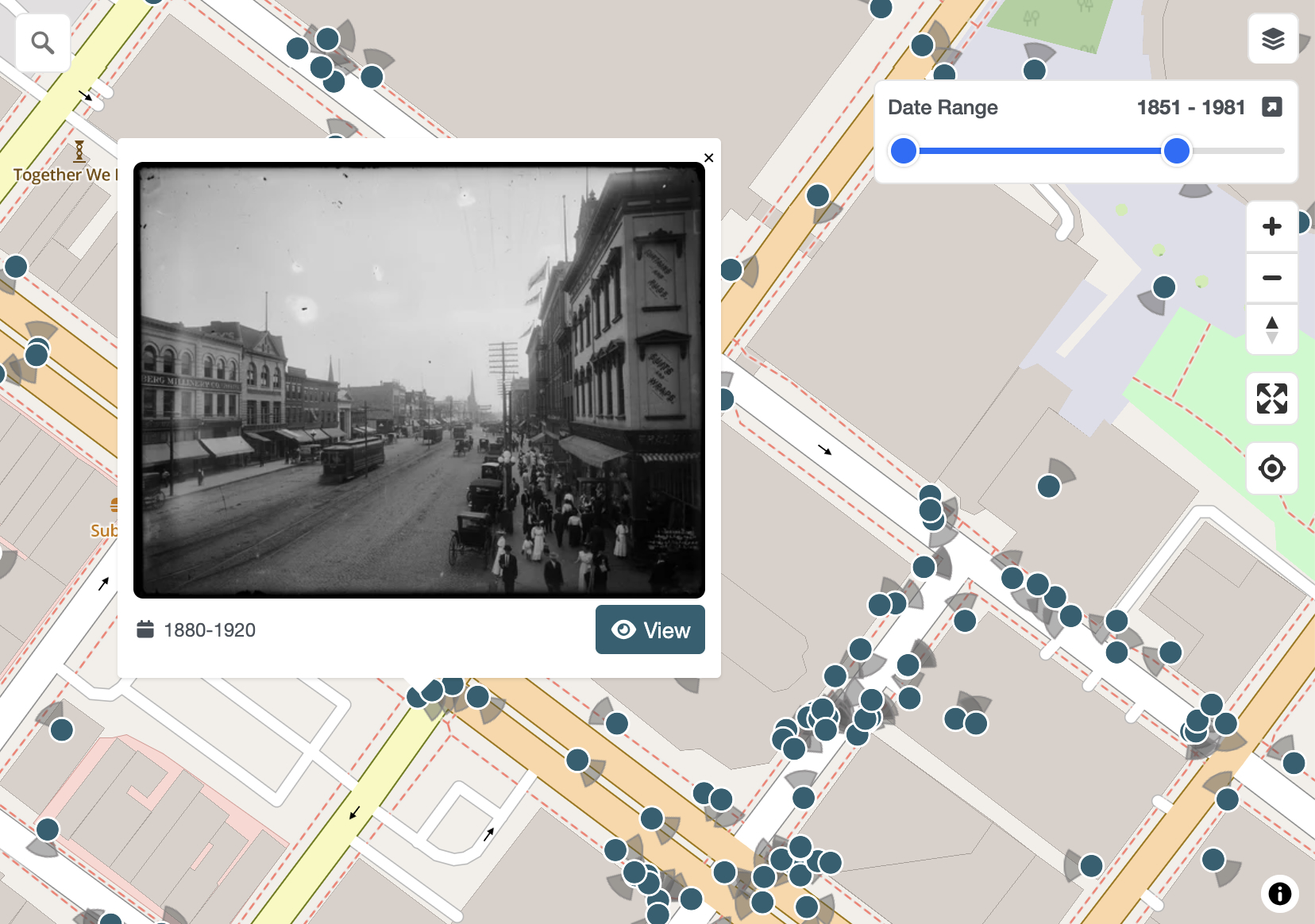
Place historical images on the map!
Yesterdays is a platform for mapping local history by crowdsourcing geospatial information from public resources such as photograph collections. It is a conduit for anyone to access invaluable data hosted by local libraries and museums by presenting it in an intuitive, map-first interface that makes these collections discoverable to a wider audience.
Meet the team
News
Welcoming Yesterdays: The Newest OSM US Charter Project
OpenHistoricalMap and YouthMappers have a new Charter Project friend: Yesterdays! What is Yesterdays? Yesterdays is a website where volunteer contributors georeference historic images of their city, co-creating a map of what their...