Venues
Conference Center
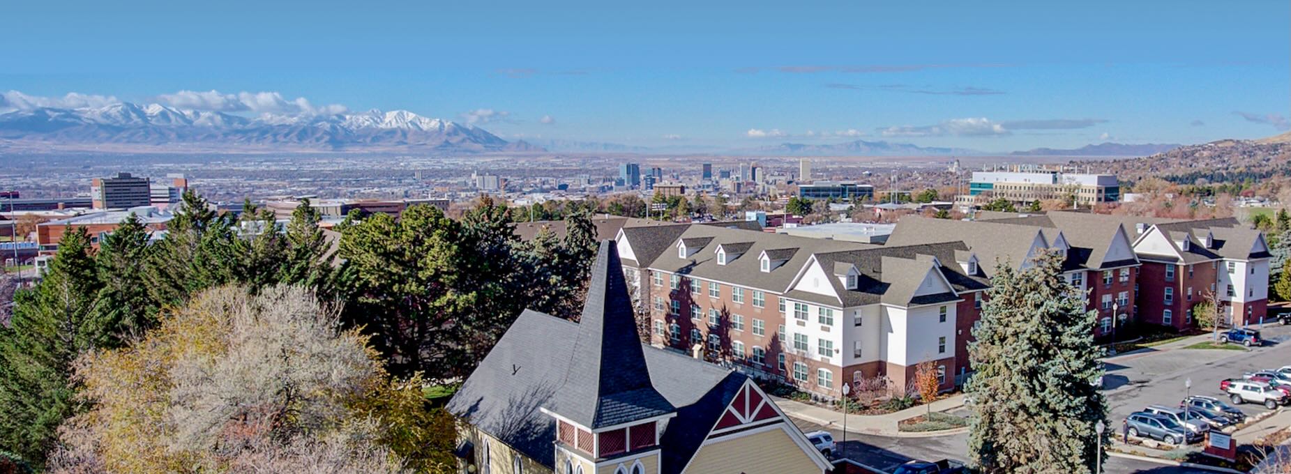
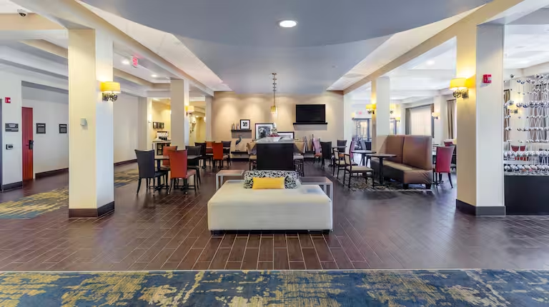
State of the Map US 2024 will take place at the University Guest House & Conference Center at the University of Utah in Salt Lake City. We’ve booked a beautiful space that will play host to a vibrant and friendly conference atmosphere. Note that hotel rooms are not available at the Guest House.
110 South Fort Douglas Boulevard
Salt Lake City, UT 84113
Get Directions
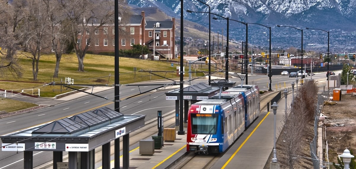
The Fort Douglas light rail station is convenient to the venue. Free parking is also available for conference attendees at the Officer’s Club lot. Both options are wheelchair accessible.
The university will be in the midst of its summer semester during our conference. Please be respectful of ongoing student activity.
Church & State
The Thursday social event will take place from 5pm to 10pm at Church and State. Library Station on the TRAX Red Line is located near the venue.
370 S 300 E
Salt Lake City, UT 84111
Get Directions
Utah Museum of Fine Arts
The Friday social event will take place from 7pm to 10pm at the Utah Museum of Fine Arts. South Campus Station on the TRAX Red Line is close to the museum. Free parking is available.
410 Campus Center Drive
Salt Lake City, UT 84112
Get Directions
Getting Around
Driving and Parking
Salt Lake City is highly drivable. Parking is available at most destinations, but be prepared to pay for parking downtown. Parking regulations are strictly enforced.
Free on-site parking is available at the main conference venue on Friday and Saturday. If you choose to visit the University of Utah on other days, campus parking is pay-to-park from Monday through Friday.
Transit
UTA is Salt Lake City’s bus and rail operator. TRAX light rail is a convenient transportation option for conference attendees, providing service between the airport, train station, conference venue, both social events, and downtown SLC. The three lines run every 15 minutes from 4 AM until midnight.
Bus and TRAX fares can be purchased at TRAX stations or in the Transit app. There is a free fare zone within downtown Salt Lake City.
Biking
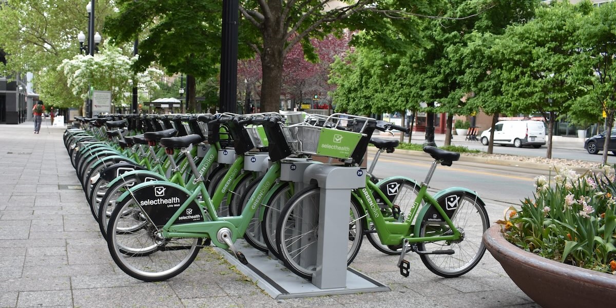
GREENbike is Salt Lake City’s bikeshare system, providing affordable bike and e-bike rentals. Single trip, day passes, and four-day passes are available using the BCycle app. Bikes must be checked out and checked in at designated stations. While unfortunately there are no stations near the University of Utah, there is ample coverage throughout downtown SLC.
Limited bike parking is available at the Guest House for anyone bringing their own bike and lock.
Things To Do
OpenStreetMap US is not responsible for activities external to the conference.
Beyond the conference, Salt Lake City is full of excellent food, drink, parks, museums and other points of interest worth a visit. The local mapping community has compiled a map of some of their favorite spots. There is a lot to do if you happen to find yourself with some free time.
Lodging
OpenStreetMap US has arranged group rates for conference attendees at both the Marriott University Park and the Hampton Inn Downtown. Availability is limited, so please book early.
Salt Lake City Marriott University Park
Nestled in the University of Utah Research Park, the Marriott combines modern amenities with mountain views. It’s about a mile from the the conference venue, so expect a 20-minute walk or a 5-minute taxi ride.
Hampton Inn Salt Lake City-Downtown
In the heart of Salt Lake City, the Hampton Inn is about 35 minutes away from the conference venue via the TRAX Red Line or about 15 minutes via taxi. This hotel is adjacent to Pioneer Park and within walking distance of Salt Lake Central Station. Amenities include an indoor pool and free on-site parking.
Getting to Salt Lake City
This information is for general reference only. Attendees are responsible for their own transport and the conference team cannot provide travel assistance.
By Air
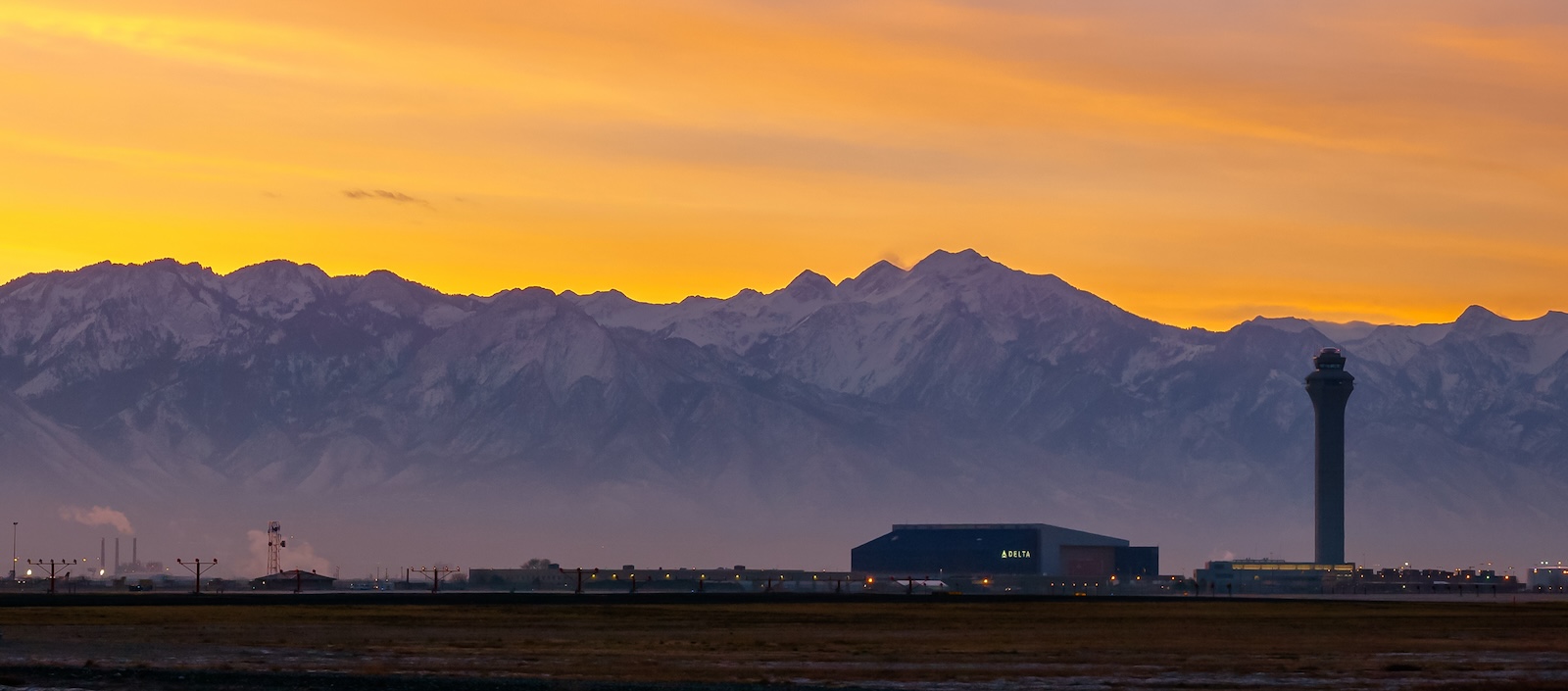
Salt Lake City International Airport (SLC) is the primary airport for the Salt Lake Valley. It has direct service to around 100 destinations including cities in Europe, Canada, Mexico, and the U.S. East Coast. The airport is located on the TRAX Green Line and is a 20-minute tram ride or 15-minute taxi ride from downtown Salt Lake City. Flying is typically the fastest and most convenient option.
International travelers requiring a Visa Letter of Invitation may request one here.
By Rail
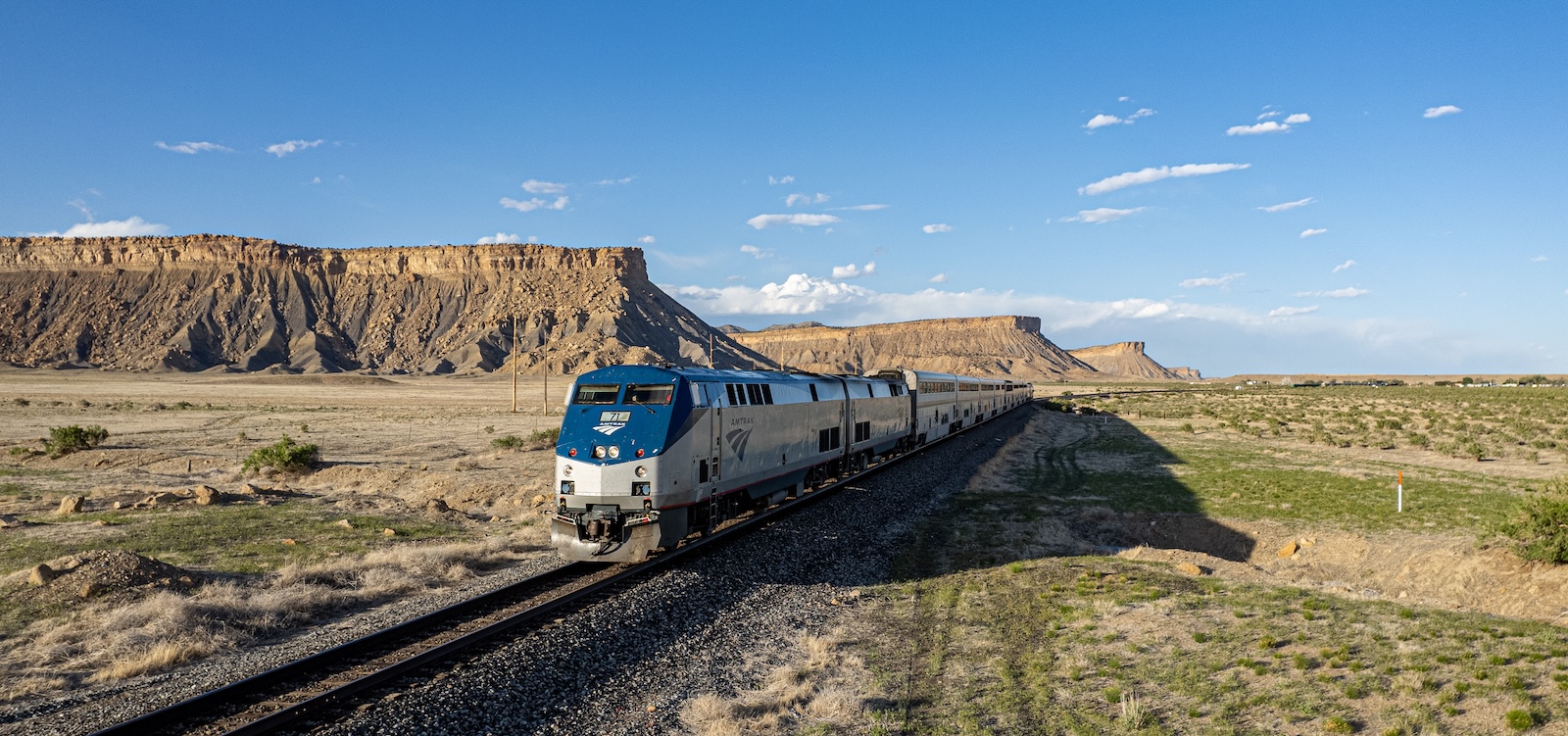
Famed for its mountain scenery, the Amtrak California Zephyr provides long-distance sleeper train service to Salt Lake City. Travel times are about 15 hours from Denver, 17 hours from the San Francisco Bay Area, and 34 hours from Chicago. Note that the train arrives at Salt Lake Central Station in the middle of the night and often runs late. Rail is a low-carbon option for those who prefer the scenic route.
By Road
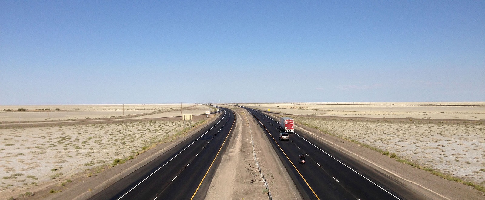
Salt Lake City is located at the intersection of I-80 and I-15. The drive is about 8 hours from Denver, 10 hours from Los Angeles, 11 hours from San Francisco, and 13 hours from Seattle. Driving is a flexible option that could easily turn into a tour of Utah’s National Parks and public lands.
By Bus
Salt Lake Express is the main intercity bus operator serving Salt Lake City. Trips are thru-ticketed on national providers like Greyhound and FlixBus. This option may be of interest to those who live in the greater Utah area and prefer not to drive.


